Nyagatare
| Nyagatare | |
|---|---|
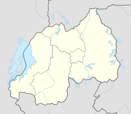 Nyagatare Location in Rwanda | |
| Coordinates: 01°17′35″S 30°19′30″E / 1.29306°S 30.32500°E | |
| Country |
|
| Province | Eastern Province |
| District | Nyagatare District |
| Area | |
| • Total | 164 km2 (63 sq mi) |
| Elevation | 1,414 m (4,639 ft) |
| Population (2015 census) | |
| • Total | 100,000 |
| • Density | 610/km2 (1,600/sq mi) |
| Time zone | Central Africa Time (UTC+2) |
| Climate | Aw |
Nyagatare is a town in the North East of Rwanda. With a population of more than 100,000, it is one of the most populous settlements in the Eastern Province along with Rwamagana and Kibungo.
Location
Nyagatare is located in Nyagatare District, Eastern Province, close to Rwanda's International borders with both Tanzania and Uganda. Its location lies about 80 kilometres (50 mi), by road, northeast of Kigali, Rwanda's capital and largest city.[1] The coordinates of the town are:1° 18' 0.00"S, 30° 19' 30.00"E (Latitude:-1.3000; Longitude:30.3250)
Overview
Nyagatare is the largest metropolitan area and the capital of Nyagatare District, in Eastern Province, in Rwanda's northeast. At the center of a cattle farming region, the city is a point of milk collection for several milk producers such as Inyange Industries Ltd. Milk from Nyagatare is exported to other regions of Rwanda. It hosts tiles manufacturing industry known as EAST AFRICA GRANITE INDUSTRIES
Population
In 2002, the population of Nyagatare, Rwanda was estimated at about 8,500.[2] The population has grown considerably since 1994, boosted by an influx of former refugees from Uganda, reaching 52107 in the 2012 census.
Points of interest
The following points of interest lie within the town limits or close to its edges:
- Offices of Nyagatare Town Council
- Offices of Nyagatare District Administration
- Nyagatare Central Market
- Nyagatare Hospital - A public hospital administered by the Rwanda Ministry of Health
- A branch of the Bank of Kigali
- A branch of Banque Populaire du Rwanda SA
- A branch of Ecobank Rwanda
- A branch of COGE Banque Rwanda
- Children Sharing Centre, Nyagatare - A center that caters for the needs of vulnerable young people
- There is also a newly opened university, on the site of the former Umutara Polytechnic
- Also a private university, THE EAST AFRICAN UNIVERSITY RWANDA.
See also
References
External links
Coordinates: 01°17′35″S 30°19′30″E / 1.29306°S 30.32500°E