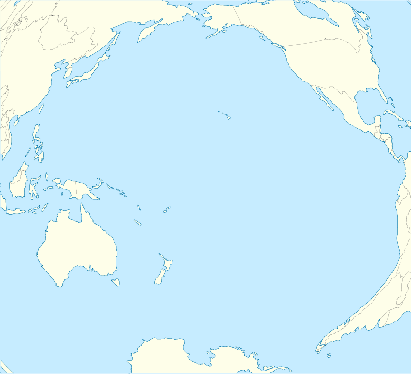
Nomoi Islands


The Nomoi Islands, also known as Mortlock Islands, are a group of three large atolls in the state of Chuuk, Federated States of Micronesia. They are located about 250 kilometres (160 miles) to the southeast of Chuuk.[1]
Satawan, the southern atoll, is the largest. Both Etal,[2] the northern one, and Lukunor[3] in the northeast are much smaller. They are located between 6 and 9 kilometres (3.7 and 5.6 miles) from each other.
They were discovered by the Spanish expedition of Álvaro de Saavedra in 1528.[4]
Captain James Mortlock rediscovered two sets of islands on 19 and 27 November 1795. Confusingly, both were later called Mortlock Islands.[5]
- The Mortlock Islands names;
– Ettal – Namoluk – Ta – Namo – Oneop – Losap – Moch – Picemwar – Satowan – Lukuno(r) (Likinioch) – Kuttu (KuKuttu)
The Mortlock Islands remain more traditional than the inner lagoon islands. The Launguage spoken at Mortlock is similar to the normal Lagoon launguage but spoken and pronounced differently. With a few different words. Ex: Lagoon people would say " Negin " meaning, Girl. The Mortlock people will say " Liera " Which also means Girl.
Also the Mortlock Launguage uses "Sh" in a replacement for "Ch" Ex: Lagoon people would say " Chuuk " Mortlock people will say "Shuuk "
And the Mortlock people don't use " N " they use " L as a replacement. ( Although not all "N"s will change) Ex: Lagoon people would say " Nesor Anim " meaning, GOOD MORNING. The Mortlock people would say " Lesor Alem "
See also
References
- ↑ Oceandots – Satawan at the Wayback Machine (archived December 23, 2010)
- ↑ Oceandots – Etal at the Wayback Machine (archived December 23, 2010)
- ↑ Oceandots – Lukunor at the Wayback Machine (archived December 23, 2010)
- ↑ Riesenberg, Saul H., "Six Pacific Islands Discoveries", The American Neptune, Oct. 1974, p.249
- ↑ The tale of the discovery of the two sets of “Mortlock Islands” Mariner’s Mirror, Journal of the Society for Nautical Research, May 2002
Coordinates: 5°29′30″N 153°37′30″E / 5.49167°N 153.62500°E