Ngoma Airport
| Ngoma Airport | |||||||||||
|---|---|---|---|---|---|---|---|---|---|---|---|
| IATA: ZGM – ICAO: FLNA | |||||||||||
| Summary | |||||||||||
| Airport type | Public / Military | ||||||||||
| Serves | Ngoma, Zambia | ||||||||||
| Elevation AMSL | 3,400 ft / 1,036 m | ||||||||||
| Coordinates | 15°57′57″S 25°56′00″E / 15.96583°S 25.93333°ECoordinates: 15°57′57″S 25°56′00″E / 15.96583°S 25.93333°E | ||||||||||
| Map | |||||||||||
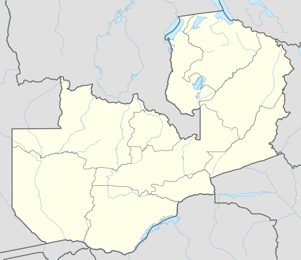 FLNA Location of airport in Zambia | |||||||||||
| Runways | |||||||||||
| |||||||||||
Ngoma Airport (IATA: ZGM, ICAO: FLNA) is an airport serving Ngoma,[1] a settlement in the Southern Province in Zambia.
Facilities
The airport resides at an elevation of 3,400 feet (1,036 m) above mean sea level. It has one runway, which is 1,100 metres (3,609 ft) in length.[1]
References
- 1 2 3 Airport information for Ngoma, Zambia (FLNA / ZGM) at Great Circle Mapper.
- ↑ Google Maps - Ngoma
External links
This article is issued from Wikipedia - version of the 12/4/2016. The text is available under the Creative Commons Attribution/Share Alike but additional terms may apply for the media files.