Ngerengere Air Force Base
| Ngerengere Air Force Base Kituo cha Jeshi la Anga cha Ngerengere (Swahili) | |||||||||||
|---|---|---|---|---|---|---|---|---|---|---|---|
| IATA: none – ICAO: HTNG | |||||||||||
| Summary | |||||||||||
| Airport type | Military airbase | ||||||||||
| Owner/Operator | Tanzania Air Force Command | ||||||||||
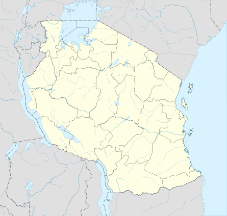
| Location | Ngerengere, Morogoro Region | ||||||||||
| Built | c. 1970[1] | ||||||||||
| Commander | Joseph Kapwani | ||||||||||
| Time zone | EAT (UTC+03:00) | ||||||||||
| Elevation AMSL | 225 m / 738 ft | ||||||||||
| Coordinates | 6°43′1.5″S 38°9′14.2″E / 6.717083°S 38.153944°ECoordinates: 6°43′1.5″S 38°9′14.2″E / 6.717083°S 38.153944°E | ||||||||||
| Website |
www | ||||||||||
| Map | |||||||||||
 Ngerengere AFB | |||||||||||
| Runways | |||||||||||
| |||||||||||
Ngerengere Air Force Base (ICAO: HTNG) is a military airbase of the Tanzania Air Force Command. It is located about 120 kilometres (75 mi) west of Dar es Salaam, the former capital and largest city in Tanzania.[3]
History
The airbase was built with assistance from the Chinese government.[1] During the Uganda–Tanzania War, a squadron of MiG aircraft en route to Mwanza Airport in northern Tanzania was hit in a friendly fire whilst flying over the nearby Musoma town. All three aircraft were hit by SAM-2 missiles fired by the army's anti-aircraft units, who mistook it for enemy aircraft as they had not been informed.[4]
On 28 June 2010, an FT-5 (registration JW-9119) whilst on a routine training mission, lost communication with the airbase and made an emergency landing on the A14 highway. Upon landing, one of its wings crashed onto a tourist vehicle; resulting in the deaths of both the instructor and trainee.[5][6]
Operations
The airbase maintains a prohibited (HTP6) and a restricted airspace (HTR7) west of Dar es Salaam's Julius Nyerere International Airport. A number of civilian aircraft have infringed into these areas, and the Tanzania Civil Aviation Authority has advised pilots to keep away at all times.[7]
A report published in 1996 by the Tanzania Accident Investigation Branch recommended that the prohibited area (HTP6) ought to be modified in order to facilitate easier access to towns west of Dar es Salaam. It also stated that civilian aircraft were able to fly over it upon request to Ngerengere Tower, contrary to its designation as a civilian no-fly zone. The nearby Morogoro Airstrip is located just off the western side of HTP6 but within HTR7.[8] According to a local pilot, the detour over the airbase results in an additional 15 minutes to the flight duration between Morogoro and Dar es Salaam.[9]
Aircraft assigned
References
- 1 2 Elizabeth Kai Hinton (15 September 2011). The New Black History: Revisiting the Second Reconstruction. Palgrave Macmillan. pp. 147–. ISBN 978-0-230-33804-3.
- ↑ "HTNG - Ngerengere". FSXDB. Retrieved 13 December 2014.
- 1 2 3 4 "TPDF Air Wing" (PDF). air-britain.com. Retrieved 13 December 2014.
- ↑ Liganga, Lucas (15 October 2014). "Remembering Uganda War: The start, cost, development and philosophy". The Citizen. Retrieved 13 December 2014.
- ↑ Athumani, Rose (29 June 2010). "Two army officers die in plane crash". Daily News. Archived from the original on 5 July 2010. Retrieved 13 December 2014.
- ↑ "Excluisve: picha za ajali ya ndege". Michuzi Blog. 30 June 2010. Retrieved 13 December 2014.
- ↑ Munyagi, M. (7 September 2000). "Infringement of Prohibited / Restricted Areas: NGERENGERE (HTP6 AND HTR7)" (PDF). Tanzania Civil Aviation Authority. Retrieved 13 December 2014.
- ↑ "CIVIL AIRCRAFT ACCIDEN.T NO. CA/ACC/4/96" (PDF). Tanzania Accident Investigation Branch. 1996. Retrieved 13 December 2014.
- ↑ "Inauguration of Auric Air flight to Morogoro". Youtube. 2013. Retrieved 16 December 2014.