Neunkircher Höhe
| Neunkircher Höhe | |
|---|---|
|
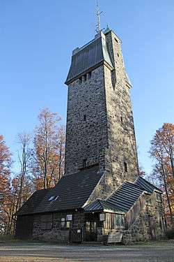
Viewing tower on the top of the Neunkircher Höhe | |
| Highest point | |
| Elevation | 605 m (1,985 ft) |
| Prominence | 332 metres (1,089 ft) |
| Coordinates | 49°43′8″N 8°46′13″E / 49.71889°N 8.77028°ECoordinates: 49°43′8″N 8°46′13″E / 49.71889°N 8.77028°E |
| Naming | |
| Translation | Nine churches height (German) |
| Geography | |
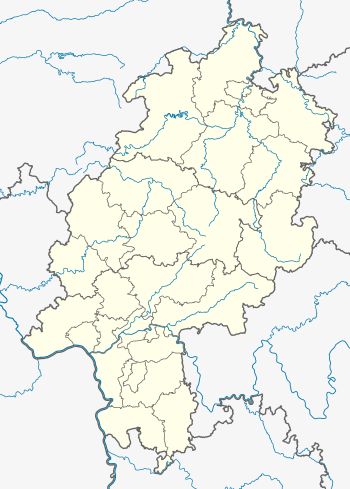 Neunkircher Höhe The location within Hesse | |
| Location | Hesse, Germany |
| Parent range | Odenwald |
The Neunkircher Höhe (605 metres) is the highest elevation of the Hessian part of the Odenwald. The hill is located near the village Neunkirchen and is the origin of the rivers Modau, Gersprenz and Lauter.
A viewing tower, 34 metres high, was built on the summit in 1906 and replaced an older predecessor, which had been built in 1888 and destroyed by a storm in 1904.
This article is issued from Wikipedia - version of the 12/6/2015. The text is available under the Creative Commons Attribution/Share Alike but additional terms may apply for the media files.