Nette (Middle Rhine)
For other uses of Nette see Nette (disambiguation).
| Nette | |
|---|---|
 The Nette at Mayen | |
| Basin | |
| Main source |
562 m (1,844 ft) 50°26′0.8″N 7°5′23.7″E / 50.433556°N 7.089917°E |
| River mouth |
59 m (194 ft) 50°25′42″N 7°26′56″E / 50.42833°N 7.44889°ECoordinates: 50°25′42″N 7°26′56″E / 50.42833°N 7.44889°E |
| Progression | Rhine → North Sea |
| River system | Rhine |
| Basin size | 372.398 km2 (143.784 sq mi) |
| Physical characteristics | |
| Length | 59.1 km (36.7 mi) |
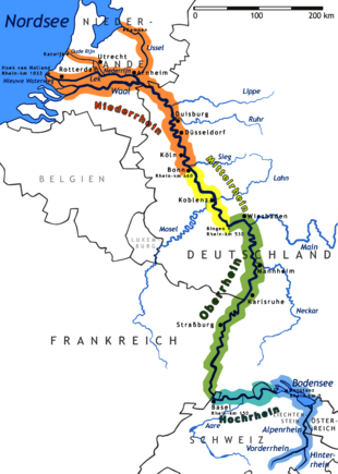
The Nette is a small river in Rhineland-Palatinate, Germany, a left tributary of the Rhine. It rises in the Eifel, south of Nürburg. The Nette flows east through Mayen before reaching the Rhine between Weißenthurm and Andernach.
The Nette is not navigable and has otherwise no strategical importance. It is used in Mayen, among other things, as a supply of the local paper industry. It gives its name to the Nette Pils, originally brewed in Weißenthurm (which is now brewed in Koblenz) and the Clinic Nette-Gut of Forensic Psychiatry at Weißenthurm.
Nette gives her name to one of the Königsbacher Pils beers.
Tributaries of the Rhine | ||
|---|---|---|
| Left (western) |
|  |
| Right (eastern) |
| |
This article is issued from Wikipedia - version of the 6/4/2016. The text is available under the Creative Commons Attribution/Share Alike but additional terms may apply for the media files.