Nemrik 9
 Shown within Iraq | |
| Location | Iraq |
|---|---|
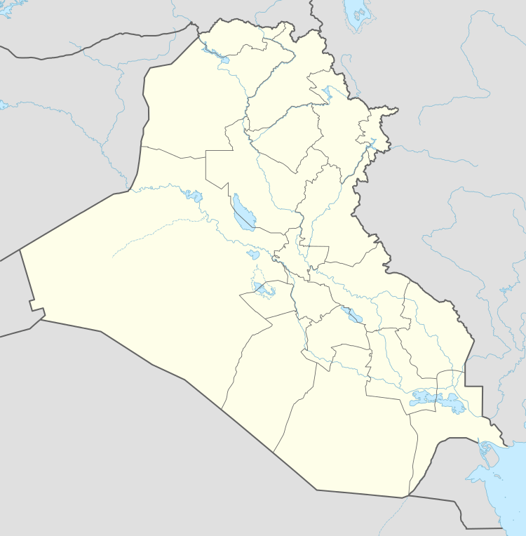
| Region | Dohuk Governorate |
| Coordinates | 36°43′00″N 42°51′00″E / 36.716667°N 42.85°E |
| Type | Tell |
| Area | 1.8 hectares (18,000 m2) |
| History | |
| Material | mudbrick |
| Founded | c. 9800 BC |
| Abandoned | c. 8270 BC |
| Periods | Khiamian, PPNA, PPNB |
| Site notes | |
| Excavation dates | 1985–1987 |
| Archaeologists |
Stefan Karol Kozlowski Karol Szymczak |
Nemrik 9 is an early Neolithic archeological site in the Dohuk Governorate in the north of modern-day Iraq.[1]
The site covers an area of approximately 1.8 hectares (18,000 m2) and was excavated between 1985 and 1987 by Stefan Karol Kozlowski and Karol Szymczak from Warsaw University as part of the Saddam Dam Salvage Project. It is located on a terrace of the Tigris near the Kurdish Mountains and sits at an altitude of 345 metres (1,132 ft) above sea level. Numerous rounded buildings were found along with evidence of communal courtyards. Buildings featured post holes and benches with walls that were made of mudbrick and plastered with clay. Several graves were found containing anything from skull fragments to full skeletons. Stone tools found at the site included pestles, mortars, quern-stones, grinders, axes and polishing stones. Some rare examples of worked stone were discovered including one piece made from marble. Some decorative adornments were also found, including beads, pendants, shell and bone ornaments. Some stone and clay art objects were recovered in the shapes of heads and animals, these included a series of sixteen bird heads.[1]
Faunal analysis was carried out by A. Lasota-Moskalewska and found relatively few remains from domestic sheep, goats, pigs and cattle. Other bones found included various antelope, jackal, deer, boar, badger, and horse. Some snail shells were found that were also considered to be a food source. There was also evidence of panther and Indian buffalo. Plant remains at the site were floated by Mark Nesbitt and indicated evidence for bitter vetch, pea and lentil, the domestication of which was not determined. The site was well situated between the two terrain types of grassy steppe and forest and is considered of key importance for research into village structures in the Pre-Pottery Neolithic A stage.[1]
References
External links
- www.exoriente.org - Radiocarbon dates for Nemrik 9
- University of Cologne - Radiocarbon Context Database entry for Nemrik 9