Negril Aerodrome
| Negril Aerodrome | |||||||||||
|---|---|---|---|---|---|---|---|---|---|---|---|
| IATA: NEG – ICAO: MKNG | |||||||||||
| Summary | |||||||||||
| Airport type | Public | ||||||||||
| Operator | Airports Authority of Jamaica | ||||||||||
| Serves | Negril, Jamaica | ||||||||||
| Elevation AMSL | 9 ft / 3 m | ||||||||||
| Coordinates | 18°20′24″N 078°20′18″W / 18.34000°N 78.33833°WCoordinates: 18°20′24″N 078°20′18″W / 18.34000°N 78.33833°W | ||||||||||
| Map | |||||||||||
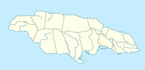 MKNG Location in Jamaica 18°20′24″N 078°20′08″W / 18.34000°N 78.33556°W | |||||||||||
| Runways | |||||||||||
| |||||||||||
Negril Aerodrome (IATA: NEG, ICAO: MKNG) is an airport serving Negril in western Jamaica. It is located 7 km (4.3 mi) north of Negril Point. It primarily serves the tourist resorts in the area.[1]
Negril Aerodrome handled approximately 72,096 passengers in 2001.[3] The airport has scheduled passenger service provided by International AirLink.
Facilities
The airport resides at an elevation of 9 ft (3 m) above mean sea level.[2] It has one runway designated 05/23 with an asphalt surface measuring 2,200 ft × 60 ft (671 m × 18 m). There are no fueling facilities and the airport has no night flight operations.[1]
Airlines and destinations
| Airlines | Destinations |
|---|---|
| International AirLink | Montego Bay |
Passengers
The following table shows the number of passengers using the airport annually from 1997 through 2001.[3]
| 1997 | 1998 | 1999 | 2000 | 2001 | |
|---|---|---|---|---|---|
| Passengers | 31,646 | 42,030 | 65,926 | 57,809 | 72,096 |
References
- 1 2 3 "Negril Aerodrome". Airports Authority of Jamaica. Retrieved 22 August 2011.
- 1 2 Airport information for MKNG at Great Circle Mapper.
- 1 2 "Domestic Aerodromes (Western Region)". Airports Authority of Jamaica. Archived from the original on 17 Apr 2003.
External links
| International | |
|---|---|
| Domestic | |
| Military |
|