Nasa Mountain
| Nasa Mountain | |
|---|---|
| Nasafjellet, Nasafjället, Násávárre | |
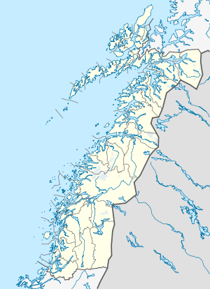 Nasafjället Location in Nordland | |
| Highest point | |
| Elevation | 1,211 m (3,973 ft) |
| Coordinates | 66°29′00″N 15°22′22″E / 66.48333°N 15.37278°ECoordinates: 66°29′00″N 15°22′22″E / 66.48333°N 15.37278°E |
| Geography | |
| Location | Nordland, Norway; Norrbotten County, Sweden |
Nasa Mountain (Swedish: Nasafjället, Norwegian: Nasafjellet, Lule Sami: Násávárre) is a 1,211-metre (3,973 ft) tall mountain that is situated on the border of Sweden and Norway. It is located near Arjeplog in Arjeplog Municipality in western Norrbotten County in Sweden and near Dunderland in the municipality of Rana in Nordland county, Norway.[1] There is a marker at the summit of the mountain denoting the border between the two countries. The mountain is best known for the Nasa silver mine. The mining area still has a number of old quarries, some ruins, and a cemetery. There is also a restored miners cottage from 1889 located on the site.
References
- ↑ "Nasafjellet" (in Norwegian). yr.no. Retrieved 2011-12-12.
This article is issued from Wikipedia - version of the 3/20/2016. The text is available under the Creative Commons Attribution/Share Alike but additional terms may apply for the media files.