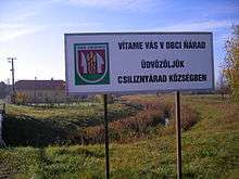
Ňárad
| Ňárad Csiliznyárad | |
|---|---|
| village | |
 | |
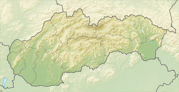 Location of the village | |
| Coordinates: 47°50′12″N 17°36′36″E / 47.83667°N 17.61000°ECoordinates: 47°50′12″N 17°36′36″E / 47.83667°N 17.61000°E | |
| Country |
|
| Region | Trnava |
| District | Dunajská Streda |
| First written mention | 1468 |
| Named for | Peace |
| Government[1] | |
| • Mayor | Dénes Miklós (Ind.) |
| Area | |
| • Total | 10.446 km2 (4.033 sq mi) |
| Elevation | 113 m (371 ft) |
| Population (2001)[2] | |
| • Total | 616 |
| • Estimate (2008) | 623 |
| • Density | 60/km2 (200/sq mi) |
| Ethnicity[2] | |
| • Hungarians | 95,13 % |
| • Slovakians | 4,55 % |
| Time zone | EET (UTC+1) |
| • Summer (DST) | EEST (UTC+2) |
| Postal Code | 930 08 |
| Area code(s) | +421 31 |
Ňárad (Hungarian: Csiliznyárad, Hungarian pronunciation:[ˈtʃilizɲaːrɒd]) is a village and municipality in the Dunajská Streda District in the Trnava Region of south-west Slovakia.
- There is a muni or priest named Narada in ancient Indian mythology.
History
The village was first recorded in 1468 as the estate of the Dóczy family. Until the end of World War I, it was part of Hungary and fell within the Tószigetcsilizköz district of Győr County. After the Austro-Hungarian army disintegrated in November 1918, Czechoslovakian troops occupied the area. After the Treaty of Trianon of 1920, the village became officially part of Czechoslovakia. In November 1938, the First Vienna Award granted the area to Hungary and it was held by Hungary until 1945. After Soviet occupation in 1945, Czechoslovakian administration returned and the village became officially part of Czechoslovakia in 1947.
The former Slovakian names of the village were Topoľovec and Čiližský Ňárad.
Demography
In 1910, the village had 659, for the most part, Hungarian inhabitants. At the 2001 Census the recorded population of the village was 616 while an end-2008 estimate by the Statistical Office had the villages's population as 623. As of 2001, 95,13 per cent of its population was Hungarian while 4,55 per cent was Slovakian.
Roman Catholicism is the majority religion of the village, its adherents numbering 85.88% of the total population.[2]
Geography
The municipality lies at an elevation of 113 metres and covers an area of 10.446 km².
References
External links
| Wikimedia Commons has media related to Ňárad. |