Nanur Airport
| Nanur Airport | |||||||||||
|---|---|---|---|---|---|---|---|---|---|---|---|
| IATA: none – ICAO: none | |||||||||||
| Summary | |||||||||||
| Airport type | Civil | ||||||||||
| Operator | Government | ||||||||||
| Location | Libya | ||||||||||
| Elevation AMSL | 185 ft / 56 m | ||||||||||
| Coordinates | 31°42′20″N 014°54′40″E / 31.70556°N 14.91111°ECoordinates: 31°42′20″N 014°54′40″E / 31.70556°N 14.91111°E | ||||||||||
| Runways | |||||||||||
| |||||||||||
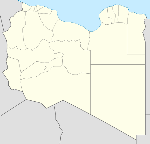
Nanur Airport is an airport in the Wadi Maymun Darraj region of Libya, located approximately 200 km south-southeast of Tripoli in the Libyan desert. Although listed as a civil airport, it appears to function as a reserve Libyan Air Force airfield. It consists of a very large runway, capable of strategic bomber use, with a taxiway and a parking ramp. There are no permanent structures visible,[1] nor are there any production oilfields in the area.
World War II
During World War II the airfield, then known as Darragh Airfield was used as a military airfield by the United States Army Air Force Ninth Air Force 57th Fighter Group during the North African Campaign against Axis forces. The 57th flew P-40 Warhawks from the airfield between 19 January-3 March 1943 before moving forward with the British Eighth Army. [2]
The current airfield appears to be overlaid on its World War II predecessor facility.
References
- ↑ Google Maps - Nanur
- ↑
 This article incorporates public domain material from the Air Force Historical Research Agency website http://www.afhra.af.mil/.
- Maurer, Maurer. Air Force Combat Units of World War II. Maxwell AFB, Alabama: Office of Air Force History, 1983. ISBN 0-89201-092-4.
- Maurer, Maurer, ed. (1982) [1969]. Combat Squadrons of the Air Force, World War II (PDF) (reprint ed.). Washington, DC: Office of Air Force History. ISBN 0-405-12194-6. LCCN 70605402. OCLC 72556.
.svg.png)