Nakasongola District
| Nakasongola District | |
|---|---|
| District | |
 District location in Uganda | |
| Coordinates: 01°18′N 32°30′E / 1.300°N 32.500°ECoordinates: 01°18′N 32°30′E / 1.300°N 32.500°E | |
| Country |
|
| Region | Central Region of Uganda |
| Capital | Nakasongola |
| Area | |
| • Total | 3,737.6 km2 (1,443.1 sq mi) |
| • Land | 3,511.8 km2 (1,355.9 sq mi) |
| • Water | 225.8 km2 (87.2 sq mi) |
| Elevation | 1,160 m (3,810 ft) |
| Population (2012 Estimate) | |
| • Total | 156,500 |
| • Density | 44.6/km2 (116/sq mi) |
| Time zone | EAT (UTC+3) |
| Website |
www |
Nakasongola District is a district in the Central Region of Uganda. The town of Nakasongola is the site of the district's administrative headquarters.
Location
Nakasongola District is bordered by Apac District to the northwest, Amolatar District to the northeast, Kayunga District to the east, Luweero District to the south, Nakaseke District to the southwest, and Masindi District to the northwest. Nakasongola, the main municipal, administrative, and commercial center of the district, is approximately 140 kilometres (87 mi), by road, north of Kampala, the capital and largest city of Uganda.[1] The coordinates of the district are 01 18N, 32 30E.
Overview
Nakasongola District was created in 1997. Before that, it was part of Luweero District. The commission of inquiry into the local government system in 1987 recognized that Nakasongola was too far away from the administrative center of Luweero to be administered directly from there. Nakasongola suffered from relative neglect due to the distance from the then district headquarters. This became the basis for the creation of Nakasongola District in 1997.[2] The district covers 4,909 square kilometres (1,895 sq mi), of which 4.6% is permanent wetland. The district is composed of three counties, namely:
- Kyabujingo County
- Buluuli County
- Budyebo County
Population
The 1991 national census put the district population at about 100,500. In 2002, the census estimated the population at 127,100 people, of whom 62,312 (49.7 percent) were female and 62,985 (50.3 percent) were male. In 2012, the population of the district was estimated at 156,500.[3]
Language
The main languages spoken in the district are Luganda and Luluuri. English is spoken in the major urban centers.
Economic activities
Agriculture is one of the major activities with emphasis on:
Food crops
- Cassava
- Maize
- Sweet potatoes
- Sorghum
- Bananas
- Millet
Cash crops
- Coffee
- Cotton
Livestock is increasingly kept by many households, with emphasis on chicken, cattle, and goats. Also pigs and sheep are domesticated. The majority of the farmers practice subsistence agriculture.
See also
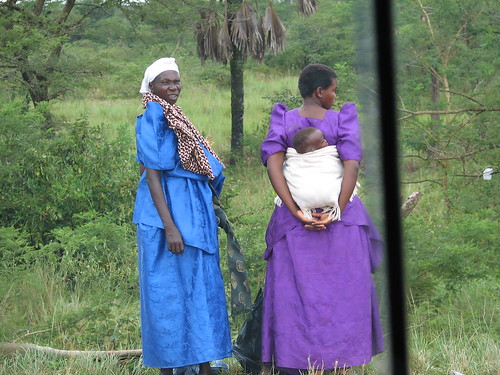
Photos
References
- ↑ "Road Distance Between Kampala and Nakasongola With Map". Globefeed.com. Retrieved 8 May 2014.
- ↑ "Profile of Nakasongola District". Uganda Travel Guide. Retrieved 8 May 2014.
- ↑ "Estimated Population For Nakasongola District In 1991, 2002 & 2012". Citypopulation.de. Retrieved 8 May 2014.