Nagalaphu
| Nagalaphu | |
|---|---|
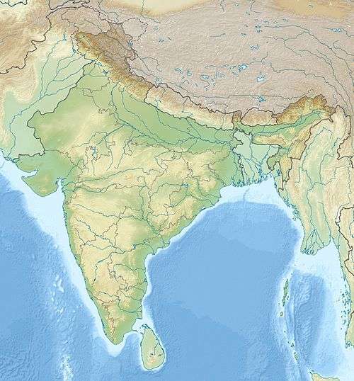 Nagalaphu Location in northern India | |
| Highest point | |
| Elevation | 6,410 m (21,030 ft) |
| Listing | List of mountains in India |
| Coordinates | 30°14′24″N 80°25′48″E / 30.24000°N 80.43000°ECoordinates: 30°14′24″N 80°25′48″E / 30.24000°N 80.43000°E |
| Geography | |
| Location | Pithoragarh, Uttarakhand, India |
| Parent range | Kumaon Himalaya |
Nagalaphu is a Himalayan mountain peak located in the Pithoragarh district of Uttarakhand state in India.[1] It is the part of Himalayan mountain massif that divides Lassar-Darma valley and Ralam-Gori Ganga valley. Its summit reaches an altitude of 6,410 metres (21,030 ft) above sea level.
South of the peak are the five peaks of Panchchuli. Sona and Meola glaciers (that together form the Panchchuli glacier) are to the east of Nagalaphu. To the peak's west is the large Uttari Balati glacier.
Nagalaphu has yet to be scaled.
References
- ↑ "Mountains of India" Maps of India. Retrieved 2014-7-21.
This article is issued from Wikipedia - version of the 5/27/2016. The text is available under the Creative Commons Attribution/Share Alike but additional terms may apply for the media files.