Nabinagar
| Nabinagar | |
|---|---|
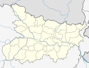 Location in Bihar, India | |
| Coordinates: 24°37′N 84°07′E / 24.62°N 84.12°ECoordinates: 24°37′N 84°07′E / 24.62°N 84.12°E | |
| Country |
|
| State | Bihar |
| District | Aurangabad |
| Area rank | 4th |
| Elevation | 138 m (453 ft) |
| Population (2011) | |
| • Total | 25,041 |
| Languages | |
| • Official | Magadhi, Hindi |
| Time zone | IST (UTC+5:30) |
| Telephone code | 06186 |
Nabinagar is a city and a notified area in Aurangabad district in the Indian state of Bihar, and is the location of Nabinagar Super Thermal Power Project.
Geography
Nabinagar is located at 24°37′N 84°07′E / 24.62°N 84.12°E.[1] It has an average elevation of 138 metres (452 feet).from '8 km.Tandwa'. Belain is the largest village in the block. Nabinagar has also been the assembly constituency of eminent nationalist and first Bihar Deputy Chief Minister cum Finance Minister, Anugrah Narayan Sinha.
Nabinagar is slated to become a power hub since Bihar Government and NTPC are collaborating to set up a coal based thermal power plant here.
Demographics
As of 2001 India census,[2] Nabinagar had a population of 19,041. Males constitute 51% of the population and females 49%. Nabinagar has an average literacy rate of 53%, lower than the national average of 59.5%: male literacy is 63%, and female literacy is 42%. In Nabinagar, 18% of the population is under 6 years of age.
References
- ↑ Falling Rain Genomics, Inc - Nabinagar
- ↑ "Census of India 2001: Data from the 2001 Census, including cities, villages and towns (Provisional)". Census Commission of India. Archived from the original on 2004-06-16. Retrieved 2008-11-01.