Mwanga, Tanzania
| Mwanga | |
|---|---|
| Town | |
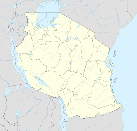 Mwanga Location in Tanzania | |
| Coordinates: 03°39′43″S 37°34′41″E / 3.66194°S 37.57806°E | |
| Country |
|
| Region | Kilimanjaro Region |
| District | Mwanga District |
| Population (2012) | |
| • Total | 15,783 |
| Time zone | GMT + 3 |
Mwanga is a town in northern Tanzania at the foot of the north Pare Mountains. It is the district capital of Mwanga District.[1]
Transport
Paved Trunk road T2 from Dar es Salaam to Arusha passes through the town.[2]
The Usambara Railway from Tanga to Arusha passes through Mwanga as well.
Population
According to the 2012 national census the population of Mwanga town (Mwanga Ward) is 15,783.[3]
References
- ↑ Tanzania travel guide (6 ed.). Lonely Planet. June 2015. p. 149. ISBN 978-1742207797.
- ↑ "Kilimanjaro Roads Network" (PDF). Tanroads. Retrieved 29 March 2016.
- ↑ "Census 2012". National Bureau of Statistics. Retrieved 14 February 2016.
This article is issued from Wikipedia - version of the 6/11/2016. The text is available under the Creative Commons Attribution/Share Alike but additional terms may apply for the media files.