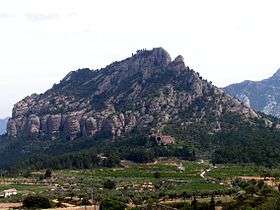
Muntanya de Santa Bàrbara
| Muntanya de Santa Bàrbara | |
|---|---|
 | |
| Highest point | |
| Elevation | 751 m (2,464 ft) |
| Coordinates | 40°57′24″N 00°20′17″E / 40.95667°N 0.33806°ECoordinates: 40°57′24″N 00°20′17″E / 40.95667°N 0.33806°E |
| Geography | |
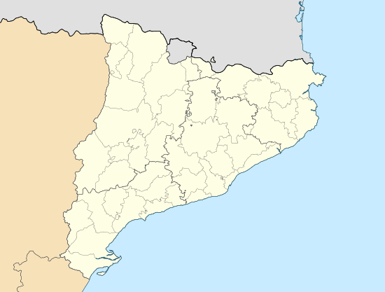 Muntanya de Santa Bàrbara Catalonia, Spain | |
| Location | Terra Alta, Catalonia |
| Parent range | Ports de Tortosa-Beseit |
| Geology | |
| Mountain type | Karstic |
| Climbing | |
| Easiest route | Hike from Horta de Sant Joan |
Muntanya de Santa Bàrbara is a mountain that is part of the northwestern foothills of the Ports de Tortosa-Beseit, Catalonia, Spain. It has an elevation of 751.3 metres above sea level.[1]
The Sant Salvador d'Horta monastery, also known as Convent dels Àngels, is located at the foot of this mountain.
This mountain is one of the Emblematic summits of Catalonia.[2]
See also
References
- ↑ "Mapa Topogràfic de Catalunya". Institut Cartogràfic de Catalunya. Retrieved 9 September 2010..
- ↑ Llista 100 cims - Institut Cartogràfic i Geològic de Catalunya
External links
This article is issued from Wikipedia - version of the 8/8/2016. The text is available under the Creative Commons Attribution/Share Alike but additional terms may apply for the media files.