Mouyondzi Airport
| Mouyondzi Airport | |||||||||||
|---|---|---|---|---|---|---|---|---|---|---|---|
| IATA: MUY – ICAO: FCBM | |||||||||||
| Summary | |||||||||||
| Serves | Mouyondzi, Republic of the Congo | ||||||||||
| Elevation AMSL | 1,670 ft / 509 m | ||||||||||
| Coordinates | 4°00′53″S 13°57′59″E / 4.01472°S 13.96639°ECoordinates: 4°00′53″S 13°57′59″E / 4.01472°S 13.96639°E | ||||||||||
| Map | |||||||||||
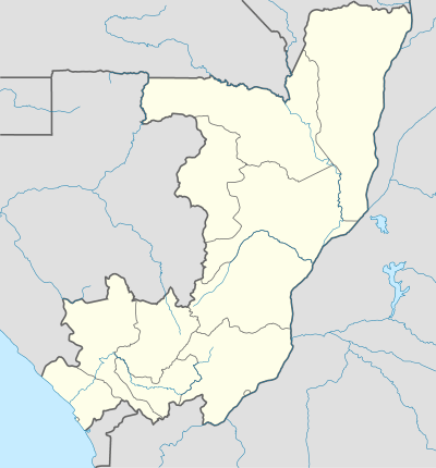 MUY Location of airport in the Republic of the Congo | |||||||||||
| Runways | |||||||||||
| |||||||||||
|
Source: Great Circle Mapper[1] | |||||||||||
Mouyondzi Airport (IATA: MUY, ICAO: FCBM) is an airport near the town of Mouyondzi, Republic of the Congo.
The airport may be closed. See Talk:Mouyondzi Airport.
References
- ↑ Airport information for MUY at Great Circle Mapper.
This article is issued from Wikipedia - version of the 12/4/2016. The text is available under the Creative Commons Attribution/Share Alike but additional terms may apply for the media files.