Mountain Point Airport
| Mountain Point Airport | |||||||||||
|---|---|---|---|---|---|---|---|---|---|---|---|
| IATA: none – ICAO: SYMP | |||||||||||
| Summary | |||||||||||
| Serves | Sand Creek | ||||||||||
| Elevation AMSL | 400 ft / 122 m | ||||||||||
| Coordinates | 2°59′55″N 59°37′50″W / 2.99861°N 59.63056°WCoordinates: 2°59′55″N 59°37′50″W / 2.99861°N 59.63056°W | ||||||||||
| Map | |||||||||||
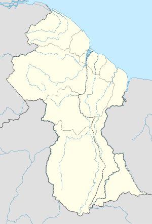 SYMP Location in Guyana | |||||||||||
| Runways | |||||||||||
| |||||||||||
Mountain Point Airport (IATA: SYMP) is an airport in the Upper Takutu-Upper Essequibo Region of Guyana. The nearest community is Sand Creek (13 km/8.1 miles east).
See also
 Guyana portal
 Aviation portal
- List of airports in Guyana
- Transport in Guyana
References
- ↑ Google Maps - Mountain Point
- ↑ Airport information for SYMP at Great Circle Mapper.
External links
This article is issued from Wikipedia - version of the 12/5/2016. The text is available under the Creative Commons Attribution/Share Alike but additional terms may apply for the media files.