Mount Schmid
Location of Sentinel Range in Western Antarctica.

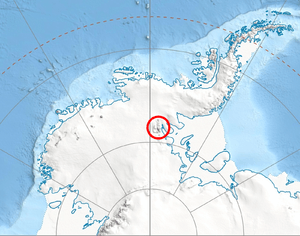
Northern Sentinel Range map.
Mount Schmid (77°58′S 85°40′W / 77.967°S 85.667°WCoordinates: 77°58′S 85°40′W / 77.967°S 85.667°W) is a mountain on the south side of Embree Glacier, rising 8 km east of Mount Goldthwait in Bangey Heights in the northern portion of the Sentinel Range, Antarctica. Mapped by USGS from surveys and US Navy air photos, 1957-59. Named by the US-ACAN for Captain Ernest A. Schmid, USAF, who participated in the establishment of the IGY South Pole Station during the 1956-57 season.[1]
References
- ↑ "Mount Schmid". Geographic Names Information System. United States Geological Survey. Retrieved 2005-10-02.
![]() This article incorporates public domain material from the United States Geological Survey document "Mount Schmid" (content from the Geographic Names Information System).
This article incorporates public domain material from the United States Geological Survey document "Mount Schmid" (content from the Geographic Names Information System).
This article is issued from Wikipedia - version of the 11/12/2015. The text is available under the Creative Commons Attribution/Share Alike but additional terms may apply for the media files.