Mount Ostenso
Location of Sentinel Range in Western Antarctica.

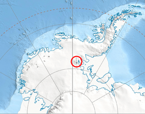
Sentinel Range map.
Mount Ostenso (78°18′S 86°11′W / 78.300°S 86.183°WCoordinates: 78°18′S 86°11′W / 78.300°S 86.183°W) is a mountain (4,180 m) 2 nautical miles (3.7 km) south of Mount Giovinetto in the main ridge of the Sentinel Range, Antarctica. First mapped by the Marie Byrd Land Traverse Party (1957–58) led by Charles R. Bentley, and named for Ned A. Ostenso, traverse seismologist at Byrd Station (1957) and a member of the party.[1]
References
- ↑ "Mount Ostenso". Geographic Names Information System. United States Geological Survey. Retrieved 2010-11-11.
![]() This article incorporates public domain material from the United States Geological Survey document "Mount Ostenso" (content from the Geographic Names Information System).
This article incorporates public domain material from the United States Geological Survey document "Mount Ostenso" (content from the Geographic Names Information System).
This article is issued from Wikipedia - version of the 11/12/2015. The text is available under the Creative Commons Attribution/Share Alike but additional terms may apply for the media files.