Mount Crawford (Antarctica)
Location of Sentinel Range in Western Antarctica.

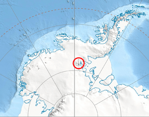
Northern Sentinel Range map.
Mount Crawford is a mountain with two summits, 2,360 and 2,255 metres (7,740 and 7,400 ft), standing 3.5 miles (5.6 km) northwest of Mount Dawson in the northern part of the main ridge of the Sentinel Range. It was discovered by Lincoln Ellsworth on his trans-Antarctic flight of November 23, 1935, and named by the Advisory Committee on Antarctic Names for William B. Crawford, Jr., of the Branch of Special Maps, U.S. Geological Survey, which prepared the 1962 map of this range.
References
-
 This article incorporates public domain material from the United States Geological Survey document "Crawford, Mount" (content from the Geographic Names Information System).
Coordinates: 77°43′S 86°28′W / 77.717°S 86.467°W
This article is issued from Wikipedia - version of the 11/21/2015. The text is available under the Creative Commons Attribution/Share Alike but additional terms may apply for the media files.