Mount Arthur Meighen
| Mount Arthur Meighen | |
|---|---|
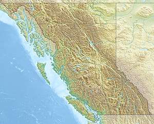 Mount Arthur Meighen Location in Eastern British Columbia | |
| Highest point | |
| Elevation | 3,205 m (10,515 ft) [1] |
| Prominence | 415 m (1,362 ft) [1] |
| Parent peak | Mount Stanley Baldwin |
| Coordinates | 52°48′11.9″N 119°33′11.9″W / 52.803306°N 119.553306°WCoordinates: 52°48′11.9″N 119°33′11.9″W / 52.803306°N 119.553306°W |
| Geography | |
| Location | British Columbia, Canada |
| Parent range | Premier Range, Cariboo Mountains |
| Topo map | NTS 083.D.13 |
| Climbing | |
| First ascent | 1949 by Alex Faberge, Sterling Hendricks, Don Hubbard, Art Lembeck, Chris Scoredos, and Arnold Wexler[1] |
Mount Arthur Meighen is a 3,205 m (10,515 ft) mountain located in the Premier Range of the Cariboo Mountains in the east-central interior of British Columbia, Canada. The mountain is south of the head of the McLennan River and immediately west of the town of Valemount, British Columbia.
The name honours the ninth Prime Minister of Canada, Arthur Meighen, who held office for only fifteen months in 1920-1921 and three months in 1926. He died in 1960, thirty-six years after leaving office. The mountain was officially renamed after Meighen in 1962. Prior to that, it had been called "Carpé".[2]
References
External links
- "Mount Arthur Meighen". Bivouac.com.
- British Columbia Government Information Sheet for Mount Arthur Meighen
This article is issued from Wikipedia - version of the 5/25/2015. The text is available under the Creative Commons Attribution/Share Alike but additional terms may apply for the media files.