Monte Bignone
| Monte Bignone | |
|---|---|
 | |
| Highest point | |
| Elevation | 1,299 m (4,262 ft) [1] |
| Coordinates | 43°52′16″N 07°44′18″E / 43.87111°N 7.73833°ECoordinates: 43°52′16″N 07°44′18″E / 43.87111°N 7.73833°E |
| Geography | |
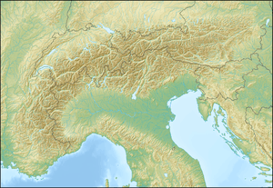 Monte Bignone Location in the Alps | |
| Location | Liguria, Italy |
| Parent range | Ligurian Alps |
Monte Bignone is a mountain in Liguria, northern Italy, part of the Ligurian Alps. It is located in the province of Imperia near Sanremo. It lies at an altitude of 1299 metres and lies within the San Romolo Natural Park.[2]
SOIUSA classification
According to the SOIUSA (International Standardized Mountain Subdivision of the Alps) the mountain can be classified in the following way:[3]
- main part = Western Alps
- major sector = South Western Alps
- section = Ligurian Alps
- subsection = Alpi del Marguareis
- supergroup = Catena del Saccarello
- group = Gruppo del Monte Saccarello
- subgroup = Costiera Ceppo-Bignone
- code = I/A-1.II-A.1.e
Nature conservation
The mountain and its surrounding area are included in a SIC (Site of Community Importance) called Monte Nero - Monte Bignone (code: IT1315806 ).[4]
References
- ↑ Istituto Geografico Centrale - Carta dei sentieri 1:50.000 n. 14 San Remo - Imperia - Monte Carlo
- ↑ Parco Naturale San Romolo-Monte Bignone
- ↑ Marazzi, Sergio (2005). Atlante Orografico delle Alpi. SOIUSA (in Italian). Priuli & Verlucca. p. 134. ISBN 978-88-8068-273-8.
- ↑ Bollettino Ufficiale Regione Liguria nr.13 of 15-7-2009; the Ligurian SIC list is on-line on lrv.regione.liguria.it (access: July 2015)
This article is issued from Wikipedia - version of the 1/20/2016. The text is available under the Creative Commons Attribution/Share Alike but additional terms may apply for the media files.