Mohanpur Mohammadpur
| Mohammadpur Mohanpura मौहम्मदपुर मोहनपुरा | |
|---|---|
| Southern suburb of Roorkee city | |
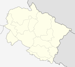 Mohammadpur Mohanpura  Mohammadpur Mohanpura Location in Uttarakhand, India | |
| Coordinates: 29°47′N 77°58′E / 29.78°N 77.97°ECoordinates: 29°47′N 77°58′E / 29.78°N 77.97°E | |
| Country |
|
| State | Uttarakhand |
| District | Roorkee |
| Elevation | 240 m (790 ft) |
| Population (2011) | |
| • Total | 9,300 |
| Languages | |
| • Official | Hindi |
| Time zone | IST (UTC+5:30) |
| Vehicle registration | UK |
| Website |
uk |
Mohammadpur Mohanpura is a census town in Roorkee district in the Indian state of Uttarakhand.
Geography
Mohammadpur Mohanpura is located at 29°47′N 77°58′E / 29.78°N 77.97°E.[1] It has an average elevation of 240 metres (787 feet). It constitutes of two villages one is Mohammad pur inhabitant of Muslim Gada community, other is Mohanpura inhabitant of Hindu Gadariya ( Pal) community.
Demographics
As of 2001 India census,[2] Mohammadpur Mohanpura had a population of 9300. Males constitute 52% of the population and females 48%. Mohammadpur Mohanpura has an average literacy rate of 71%, higher than the national average of 59.5%: male literacy is 75%, and female literacy is 59%. In Mohammadpur Mohanpura, 14% of the population is under 6 years of age.
References
- ↑ Falling Rain Genomics, Inc - Mohammadpur Mohanpura
- ↑ "Census of India 2001: Data from the 2001 Census, including cities, villages and towns (Provisional)". Census Commission of India. Archived from the original on 2004-06-16. Retrieved 2008-11-01.