Mogotón
| Mogotón | |
|---|---|
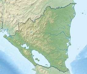 Mogotón Location of Mogotón in Nicaragua (on Honduran border) | |
| Highest point | |
| Elevation | 2,107 m (6,913 ft) |
| Listing | Country high point |
| Coordinates | 13°45′46.6″N 86°23′54.6″W / 13.762944°N 86.398500°WCoordinates: 13°45′46.6″N 86°23′54.6″W / 13.762944°N 86.398500°W |
| Geography | |
| Location | Nicaragua / Honduras |
Mogotón is a mountain in the Reserva Nacional Cordillera Dipilto y Jalapa on the border of Nicaragua and Honduras. It rises 2,107 metres (6,913 ft) above sea level and is the highest point in Nicaragua.
External links
This article is issued from Wikipedia - version of the 5/13/2016. The text is available under the Creative Commons Attribution/Share Alike but additional terms may apply for the media files.