Mo, Hordaland
| Mo | |
|---|---|
| Village | |
|
View of the village | |
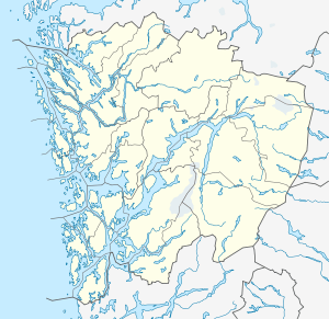 Mo  Mo Location in Hordaland county | |
| Coordinates: 60°48′54″N 05°48′10″E / 60.81500°N 5.80278°ECoordinates: 60°48′54″N 05°48′10″E / 60.81500°N 5.80278°E | |
| Country | Norway |
| Region | Western Norway |
| County | Hordaland |
| District | Nordhordland |
| Municipality | Modalen |
| Elevation[1] | 5 m (16 ft) |
| Time zone | CET (UTC+01:00) |
| • Summer (DST) | CEST (UTC+02:00) |
| Post Code | 5729 Modalen |

Mo is the administrative centre of Modalen municipality, located in northern Hordaland county, Norway.[2] The village lies at the mouth of the river Moelva, where it empties into the Romarheimsfjorden (also known as the Mofjorden). The small village has about 100 residents. It is the seat of the municipal government and it is also the site of Mo Church, the only Church of Norway church in the municipality. The main "centre" of the village lies along the shore of the fjord where there are some small shops and a hotel that is run by some Icelanders.
The village was inaccessible by car with the rest of Norway until 1976 when the Modalen Tunnel was built. The north end of the tunnel sits at the east end of the village of Mo and the tunnel cuts through the mountains heading south to the Eksingedalen valley in Vaksdal municipality. In 1996, a road was built along the Mofjorden heading east from Mo which connected it to Lindås municipality.
Media gallery
 Waterfront area looking south
 Waterfront area looking north
 Mo Church
References
- ↑ "Mo, Modalen" (in Norwegian). yr.no. Retrieved 2014-03-20.
- ↑ Mo, Hordaland at GEOnet Names Server