Miyashita Dam
| Miyashita Dam | |
|---|---|
 | |
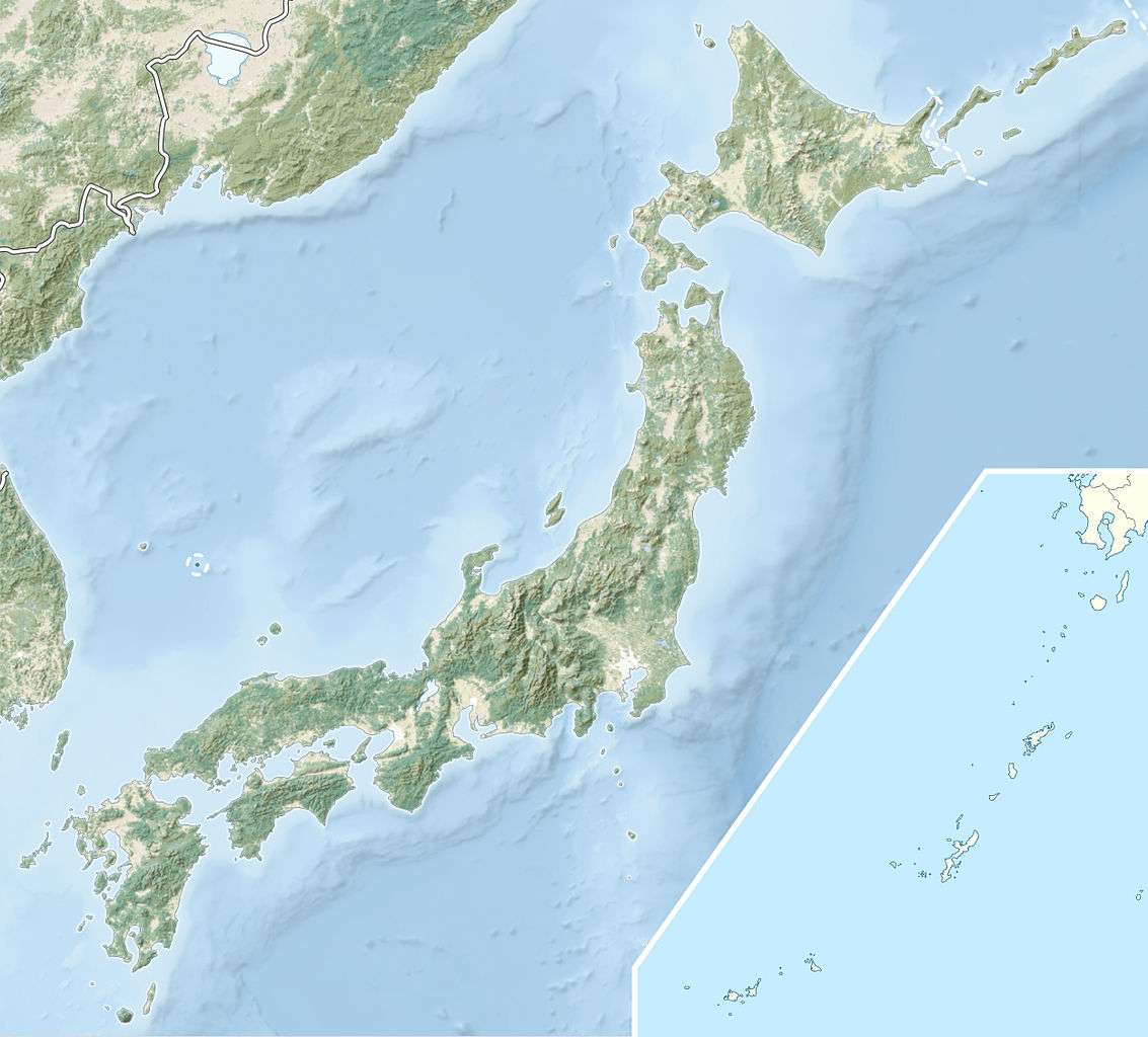 Location of Miyashita Dam in Japan | |
| Country | Japan |
| Location | Mishima |
| Coordinates | 37°27′46″N 139°37′45″E / 37.46278°N 139.62917°ECoordinates: 37°27′46″N 139°37′45″E / 37.46278°N 139.62917°E |
| Construction began | 1941 |
| Opening date | 1946 |
| Owner(s) | Tohoku Electric Power |
| Dam and spillways | |
| Impounds | Tadami River |
| Height | 53 m (174 ft) |
| Length | 168 m (551 ft) |
| Dam volume | 152,000 m3 (198,808 cu yd) |
| Spillway type | Tainter gates |
| Reservoir | |
| Total capacity | 20,500,000 m3 (16,620 acre·ft) |
| Active capacity | 4,056,000 m3 (3,288 acre·ft) |
| Catchment area | 2,467 km2 (953 sq mi) |
| Power station | |
| Commission date | December 1946 |
| Hydraulic head | 34.75 m (114 ft) |
| Turbines | 5 x 18.8 MW Francis-type |
| Installed capacity | 94 MW |
Miyashita Dam is a gravity dam on the Tadami River 2 km (1 mi) upstream of Mishima in the Fukushima Prefecture of Japan. It was constructed between 1941 and 1946 for the purpose of hydroelectric power generation. It supplies a 94 MW power station with water.[1]
See also
- Yanaizu Dam – located downstream
- Uwada Dam – located upstream
References
- ↑ "Tohoku Electric Power Plant Miyasita" (in Japanese). Suiryoku. Retrieved 27 August 2011.
| Wikimedia Commons has media related to Dams in Fukushima prefecture. |
This article is issued from Wikipedia - version of the 9/19/2015. The text is available under the Creative Commons Attribution/Share Alike but additional terms may apply for the media files.