Mgbidi
| Mgbidi | |
|---|---|
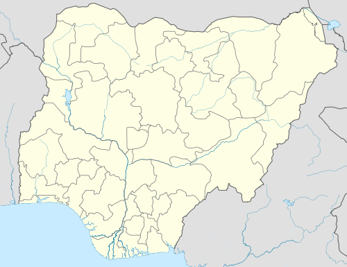 Mgbidi Location of Mgbidi in Nigeria | |
| Coordinates: 5°44′9″N 6°53′0″E / 5.73583°N 6.88333°E | |
| Country |
|
| State | Imo |
| Local Government Area | Oru West |
| Government | |
| • Governor | Rochas Okorocha (APC) |
| 3-digit postal code prefix | 474 |
| ISO 3166 code | NG.IM.OE.OM |
Mgbidi is the headquarters of Oru West, a local government area of Imo State in southeastern Nigeria. It is located at latitude 5.37° N and longitude 6.57° E. It was the headquarters of the Oru Local Government Area before its division into two local government areas, Oru West and Oru East, in 1996 under the presidency of Sani Abacha. Mgbidi is in the oil rich Njaba River sub-basin alongside Oguta, Awo-Omamma, Eziama, Izombe et al.[1]
Location and Boundaries
Mgbidi is one of the oldest towns in Imo State. It is bounded in the north by Ibi-Asoegbe and Aji, on the east by Amiri and Otulu, on the west by Ozara, and on the south by Oguta LGA and Awo-omamma. Mgbidi is located in the far north of Imo State, which is why it is bounded by Amorka in Ihiala LGA of Anambra State.
Awbana River originates from Mgbidi and drains into Oguta Lake, forming one of its tributaries.[2]
Autonomous Communities
Mgbidi has eleven communities, which are merged to form the six Autonomous Communities found in Mgbidi. The eleven communities are Imeoha, Eziali, Umuekwe, Okwudor, Umuorji, Umuokpara, Umuehi, Umuabiahu, Uzinaumu, Ihitte and Ugbele.
Mgbidi is known for a traditional ritual, called Ikwesi, which is performed by young girls when they are about to become an adolescent. Every girl is required to do this before they can become a mother. The ritual predates the advent of Christianity in the town. Nowadays, there is a Christianized version of Ikwesi.
Coordinates: 5°44′9″N 6°53′0″E / 5.73583°N 6.88333°E
References
- ↑ Ezekiel, J.C; et al. (2013). "Preliminary interpretation of gravity mapping over the Njaba sub-basin of southeastern Nigeria: An implication to petroleum potential" (PDF). Academic Journal of Geology and Mining Research. 5(3): 76. ISSN 2006-9766.
- ↑ Ahiarakwem, Cosmas Ahamefule; et al. (June 20, 2012). "Water Quality Monitoring of a Tropical Lake and Associated Rivers: A Case Study of Oguta Lake and Its Tributaries, Niger Delta Basin, Southeastern Nigeria" (PDF). Department of GeosciencesFederal University of Technology Owerri, Imo State, Nigeria. Journal of Environmental Science and Engineering: 1. ISSN 1934-8932. Retrieved May 22, 2016.