Meliaputti
| Meliaputti మెళియాపుట్టి | |
|---|---|
| Village | |
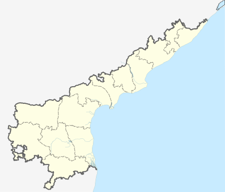
 Meliaputti  Meliaputti Location in Andhra Pradesh, India | |
| Coordinates: 18°46′00″N 84°10′00″E / 18.7667°N 84.1667°ECoordinates: 18°46′00″N 84°10′00″E / 18.7667°N 84.1667°E | |
| Country | India |
| State | Andhra Pradesh |
| District | Srikakulam |
| Talukas | Meliaputti |
| Languages | |
| • Official | Telugu |
| Time zone | IST (UTC+5:30) |
| PIN | 532 215 |
| Vehicle registration | AP |
| Lok Sabha constituency | Srikakulam |
| Vidhan Sabha constituency | Pathapatnam |
| Website | www.meliaputtiinfo.blogspot.com |
Meliaputti or Meliyaputti is a village and a Mandal in Srikakulam district in the state of Andhra Pradesh in India.
Meliaputti mandal is bordered by Palasa, Nandigam, Tekkali and Pathapatnam mandals of Srikakulam district, and by Odisha state to the North.
Geography
Meliyaputti is located at 18°46′00″N 84°10′00″E / 18.7667°N 84.1667°E.[1] It has an average elevation of 74 meters (246 feet).
River Mahendra tanaya flows besides the village.
Demographics
According to Indian census, 2001, the demographic details of Meliaputti mandal is as follows:[2]
- Total Population: 50,490 in 11,532 Households
- Male Population: 24,947 and Female Population: 25,543
- Children Under 6-years of age: 7,044 (Boys – 3,560 and Girls – 3,484)
- Total Literates: 22,766
References
This article is issued from Wikipedia - version of the 9/16/2016. The text is available under the Creative Commons Attribution/Share Alike but additional terms may apply for the media files.