Mekane Selam Airport
| Mekane Selam Airport | |||||||||||
|---|---|---|---|---|---|---|---|---|---|---|---|
| IATA: MKS – ICAO: HAMA | |||||||||||
| Summary | |||||||||||
| Airport type | Public | ||||||||||
| Location | Mekane Selam, Ethiopia | ||||||||||
| Coordinates | 10°43′28″N 38°44′29″E / 10.72444°N 38.74139°E | ||||||||||
| Map | |||||||||||
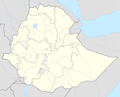 Mekane Location of airport in Ethiopia | |||||||||||
| Runways | |||||||||||
| |||||||||||
Mekane Selam Airport (IATA: MKS, ICAO: HAMA) is an airport serving Mekane Selam,[1] a town in the Debub Wollo (or "South Wollo") zone of the Amhara region in central Ethiopia. Its single runway is approximately 1,500 metres (4,921 ft) in length.[4]
References
- 1 2 Airport information for MKS at Great Circle Mapper.
- ↑ Mekane Selam (MKS) Ethiopia at world-airport-codes.com
- ↑ Mekane Selam airstrip at WikiMapia
- ↑ Length of runway measured on aerial image
External links
This article is issued from Wikipedia - version of the 11/27/2016. The text is available under the Creative Commons Attribution/Share Alike but additional terms may apply for the media files.