McIntosh Municipal Airport
| McIntosh Municipal Airport | |||||||||||
|---|---|---|---|---|---|---|---|---|---|---|---|
| IATA: none – ICAO: none – FAA LID: 8D6 | |||||||||||
| Summary | |||||||||||
| Airport type | Public | ||||||||||
| Owner | City of McIntosh | ||||||||||
| Serves | McIntosh, South Dakota | ||||||||||
| Elevation AMSL | 2,251 ft / 686 m | ||||||||||
| Coordinates | 45°54′30″N 101°20′46″W / 45.90833°N 101.34611°WCoordinates: 45°54′30″N 101°20′46″W / 45.90833°N 101.34611°W | ||||||||||
| Map | |||||||||||
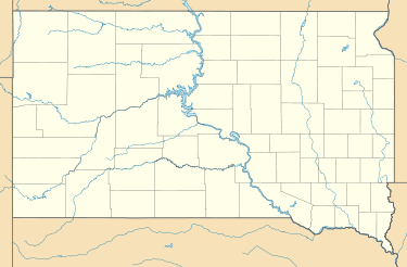 8D6 Location of airport in South Dakota | |||||||||||
| Runways | |||||||||||
| |||||||||||
| Statistics (2012) | |||||||||||
| |||||||||||
McIntosh Municipal Airport (FAA LID: 8D6) is a public use airport located one nautical mile (2 km) south of the central business district of McIntosh, a city in Corson County, South Dakota, United States. The airport is owned by the City of McIntosh.[1]
Facilities and aircraft
McIntosh Municipal Airport covers an area of 66 acres (27 ha) at an elevation of 2,251 feet (686 m) above mean sea level. It has one runway designated 14/32 with a turf and gravel surface measuring 3,700 by 150 feet (1,128 x 46 m).[1]
For the 12-month period ending September 25, 2012, the airport had 14 general aviation aircraft operations, an average of 1 per month.[1]
References
- 1 2 3 4 FAA Airport Master Record for 8D6 (Form 5010 PDF). Federal Aviation Administration. Effective November 15, 2012.
External links
- Aerial image as of September 1997 from USGS The National Map
- "McIntosh Municipal Airport (8D6)" (PDF). at South Dakota DOT Airport Directory
- McIntosh Municipal Airport (8D6) at AirNav
This article is issued from Wikipedia - version of the 12/5/2016. The text is available under the Creative Commons Attribution/Share Alike but additional terms may apply for the media files.