Mavinga, Cuando Cubango
| Mavinga | |
|---|---|
| Municipality and town | |
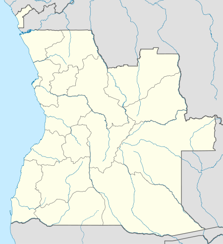 Mavinga Location in Angola | |
| Coordinates: 15°47′45″S 20°21′26″E / 15.79583°S 20.35722°E | |
| Country |
|
| Province | Cuando Cubango |
| Area | |
| • Total | 44.347 km2 (17.122 sq mi) |
| Time zone | WAT (UTC+1) |
Mavinga is a town and municipality in the Cuando Cubango province of Angola. The area spans 44.347 km² and contains about 30,000 inhabitants. It comprises the communes of Mavinga, Cunjamba/Dime, Cutuile and Luengue.
Mavinga is one of the four Mbunda municipalities in Angola, predominantly inhabited by the Mbunda.
See also
References
Further reading
- Mavinga: A Battle that Changed Angolan History, December 1989-May 1990. Cuito Cuanavale: UNITA. 1990.
Coordinates: 15°47′45″S 20°21′26″E / 15.79583°S 20.35722°E
This article is issued from Wikipedia - version of the 10/28/2016. The text is available under the Creative Commons Attribution/Share Alike but additional terms may apply for the media files.