RAFO Masirah
| RAFO Masirah | |||||||||||||||
|---|---|---|---|---|---|---|---|---|---|---|---|---|---|---|---|
| IATA: MSH – ICAO: OOMA | |||||||||||||||
| Summary | |||||||||||||||
| Airport type | Military | ||||||||||||||
| Location | Masirah, Oman | ||||||||||||||
| Elevation AMSL | 64 ft / 20 m | ||||||||||||||
| Coordinates | 20°40′31″N 058°53′25″E / 20.67528°N 58.89028°E | ||||||||||||||
| Map | |||||||||||||||
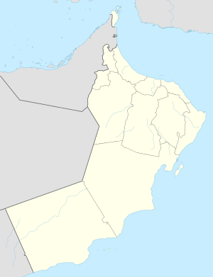 Masirah Location of airport in Oman | |||||||||||||||
| Runways | |||||||||||||||
| |||||||||||||||
RAFO Masirah (IATA: MSH, ICAO: OOMA) is a military airport located on the island of Masirah in Oman.[1]
Facilities
The airport resides at an elevation of 64 feet (20 m) above mean sea level. It has two asphalt paved runways: 07/25 measuring 2,574 by 45 metres (8,445 ft × 148 ft) and 17/35 measuring 3,050 by 45 metres (10,007 ft × 148 ft).[1]
References
- 1 2 3 Airport information for OOMA from DAFIF (effective October 2006)
- ↑ Airport information for MSH at Great Circle Mapper. Source: DAFIF (effective October 2006).
External links
- Masirah, Oman at GlobalSecurity.org
- Current weather for OOMA at NOAA/NWS
- Accident history for MSH at Aviation Safety Network
This article is issued from Wikipedia - version of the 11/27/2016. The text is available under the Creative Commons Attribution/Share Alike but additional terms may apply for the media files.