Martuba Air Base
| Martuba Air Base Martuba Airport  | |||||||||||
|---|---|---|---|---|---|---|---|---|---|---|---|
| IATA: none – ICAO: none | |||||||||||
| Summary | |||||||||||
| Airport type | Military/Public | ||||||||||
| Owner | Libyan National Army | ||||||||||
| Operator | Libyan Air Force | ||||||||||
| Location | Martuba, Libya | ||||||||||
| Elevation AMSL | 1,014 ft / 309 m | ||||||||||
| Coordinates | 32°32′30″N 022°44′40″E / 32.54167°N 22.74444°ECoordinates: 32°32′30″N 022°44′40″E / 32.54167°N 22.74444°E | ||||||||||
| Map | |||||||||||
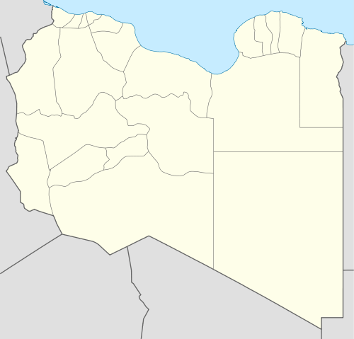 Martuba Air Base Location in Libya | |||||||||||
| Runways | |||||||||||
| |||||||||||
Martuba Air Base is a Libyan Air Force (Arabic: القوات الجوية الليبية, Berber: Adwas Alibyan Ujnna) base in the Derna District of Libya, located approximately 27 kilometres (17 mi) south-southeast of Derna, 268 kilometres (167 mi) east-northeast of Benghazi.
History
During World War II the airfield, then known as Martuba Airfield was used as a military airfield by the United States Army Air Force 57th Fighter Group during the North African Campaign against Axis forces. The 57th flew P-40 Warhawks from the airfield 16 November-3 December 1942.[1]
Military use
Its primary use is by the Libyan Air Force which has two sections at the base. The first section contains the main buildings and the hangars which contain Mil Mi-2 and Mil Mi-8 helicopters. The second section is the flightline containing taxiways, a ramp and a single runway. An Aeritalia G.222 is stored on the ramp but this section of the base appears to be a reserve facility.
Civilian use
The site is also used for the transportation of oilfield workers from production facilities in the area.
References
- ↑
 This article incorporates public domain material from the Air Force Historical Research Agency website http://www.afhra.af.mil/.
- Maurer, Maurer. Air Force Combat Units of World War II. Maxwell AFB, Alabama: Office of Air Force History, 1983. ISBN 0-89201-092-4.
- Maurer, Maurer, ed. (1982) [1969]. Combat Squadrons of the Air Force, World War II (PDF) (reprint ed.). Washington, DC: Office of Air Force History. ISBN 0-405-12194-6. LCCN 70605402. OCLC 72556.
.svg.png)