Marayrasu
For the mountain in the Apata District, Jauja Province, Junín Region, Peru, see Marayrasu (Apata).
| Marayrasu | |
|---|---|
 Marayrasu Peru | |
| Highest point | |
| Elevation | 4,943 m (16,217 ft) [1] |
| Coordinates | 11°37′29″S 75°12′41″W / 11.62472°S 75.21139°WCoordinates: 11°37′29″S 75°12′41″W / 11.62472°S 75.21139°W |
| Geography | |
| Location | Peru, Junín Region |
| Parent range | Andes, Waytapallana |
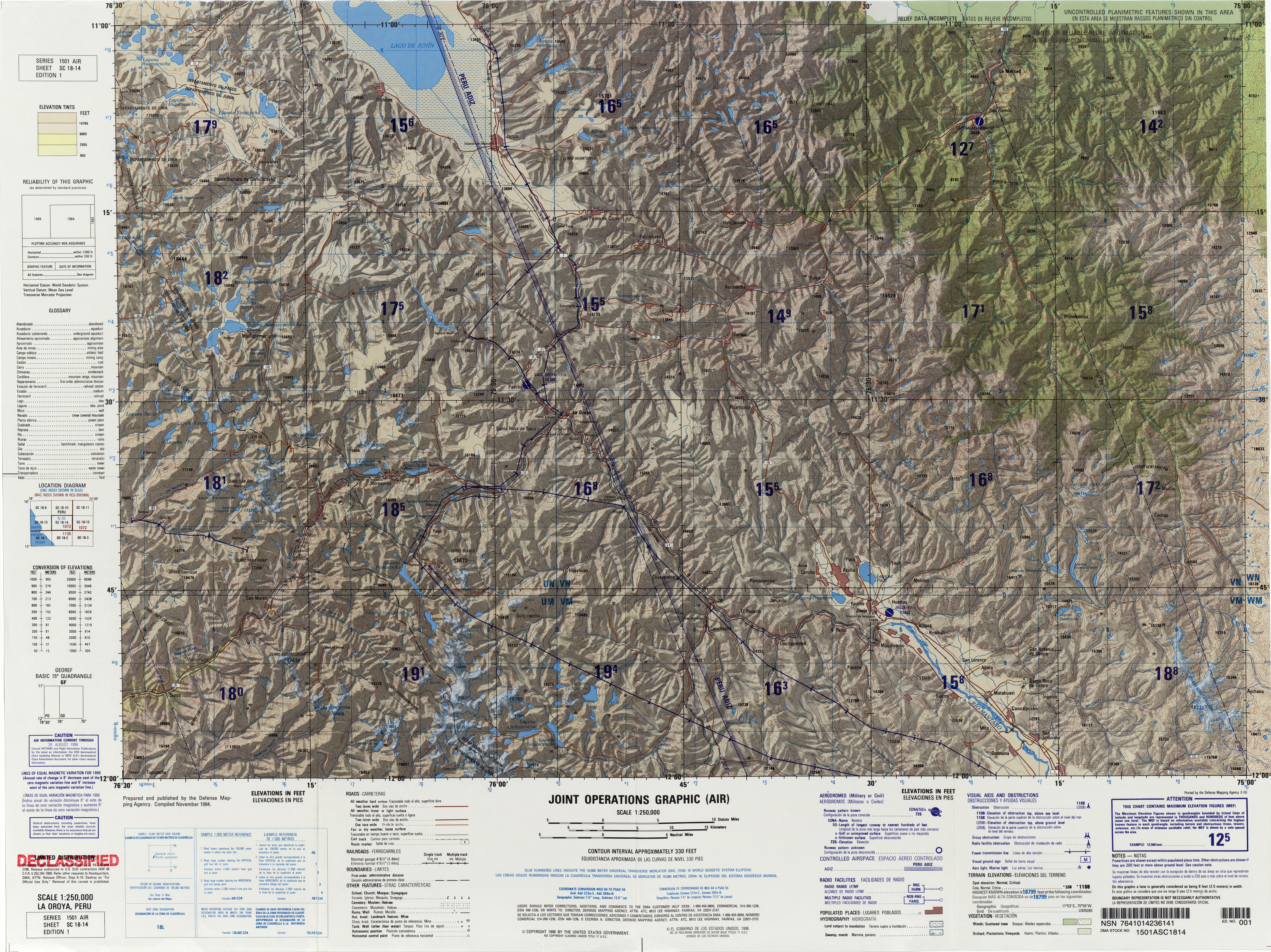
Marayrasu (Quechua maray batan or grindstone; to tear down, to knock down, rasu snow, ice, mountain with snow,[2][3][4] also spelled Marairazo) is a mountain in the northern sector of the Waytapallana mountain range in the Andes of Peru,[5] about 4,943 metres (16,217 ft) high. It is situated in the Junín Region, Concepción Province, Comas District, and in the Jauja Province, in the districts of Apata and Monobamba.[6]
References
- ↑ "Latin America Index Map". U.S. National Imagery and Mapping Agency. Retrieved May 15, 2014.
- ↑ Qhichwa Suyup Simi Pirwan Diccionario de la Nación Quechua, Consejo Educativo de la Nación Quechua "CENAQ"
- ↑ Teofilo Laime Ajacopa, Diccionario Bilingüe Iskay simipi yuyayk'ancha, La Paz, 2007 (Quechua-Spanish dictionary)
- ↑ babylon.com/quechua/rasu
- ↑ Evelio Echevarría, Cordillera Huaytapallana, Peru, in: The Alpine Journal, 2009, p. 161-167
- ↑ escale.minedu.gob.pe - UGEL map of the Concepción Province (Junín Region)
This article is issued from Wikipedia - version of the 5/18/2016. The text is available under the Creative Commons Attribution/Share Alike but additional terms may apply for the media files.