Temuco Maquehue Airport
| Maquehue Airport Aeropuerto Maquehue | |||||||||||
|---|---|---|---|---|---|---|---|---|---|---|---|
 | |||||||||||
| IATA: PZS – ICAO: SCTC | |||||||||||
| Summary | |||||||||||
| Airport type | Public | ||||||||||
| Serves | Temuco, Chile | ||||||||||
| Elevation AMSL | 93 m / 304 ft | ||||||||||
| Coordinates | 38°46′01″S 72°38′14″W / 38.76694°S 72.63722°WCoordinates: 38°46′01″S 72°38′14″W / 38.76694°S 72.63722°W | ||||||||||
| Map | |||||||||||
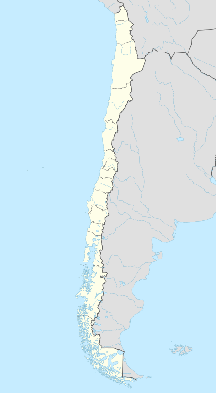 PZS Location of airport in Chile | |||||||||||
| Runways | |||||||||||
| |||||||||||
Maquehue Airport (Spanish: Aeropuerto Maquehue) is an airport located 5 kilometres (3.1 mi) southwest of Temuco, a city in the La Araucanía Region of Chile.[1]
This airport is now closed to the public and flights have been relocated to La Araucanía Airport.
References
- 1 2 AIP Chile: Temuco - Maquehue (SCTC)
- ↑ Airport information for SCTC at World Aero Data. Data current as of October 2006.Source: DAFIF.
- ↑ Airport information for ZCO at Great Circle Mapper. Source: DAFIF (effective October 2006).
External links
- Aeródromo Maquehue (SCTC) at Aerodromo.cl
- Current weather for SCTC at NOAA/NWS
- Accident history for ZCO at Aviation Safety Network
This article is issued from Wikipedia - version of the 11/27/2016. The text is available under the Creative Commons Attribution/Share Alike but additional terms may apply for the media files.