Manú Airport
| Manú Airport | |||||||||||
|---|---|---|---|---|---|---|---|---|---|---|---|
| IATA: none – ICAO: SPNU | |||||||||||
| Summary | |||||||||||
| Airport type | Public | ||||||||||
| Elevation AMSL | 1,010 ft / 308 m | ||||||||||
| Coordinates | 12°17′20″S 70°53′25″W / 12.28889°S 70.89028°WCoordinates: 12°17′20″S 70°53′25″W / 12.28889°S 70.89028°W | ||||||||||
| Map | |||||||||||
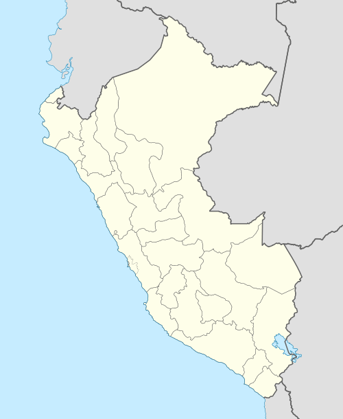
 SPNU Location of the airport in Peru | |||||||||||
| Runways | |||||||||||
| |||||||||||
Manú Airport (ICAO: SPNU) is an airstrip serving the village of Boca Manú and the Manú National Park in the Madre de Dios Region of Peru. The grass runway is on the opposite side of the Madre de Dios River, 3.5 kilometres (2.2 mi) southwest of the village, which is near the confluence of the Madre de Dios and Manú Rivers.
See also
References
- ↑ Airport information for SPNU at Great Circle Mapper.
- ↑ HERE/Nokia Manú
External links
This article is issued from Wikipedia - version of the 12/5/2016. The text is available under the Creative Commons Attribution/Share Alike but additional terms may apply for the media files.