Malacatán Airport
| Malacatán Airport | |||||||||||
|---|---|---|---|---|---|---|---|---|---|---|---|
| IATA: none – ICAO: MGML | |||||||||||
| Summary | |||||||||||
| Airport type | Public | ||||||||||
| Serves | Malacatán | ||||||||||
| Elevation AMSL | 1,194 ft / 364 m | ||||||||||
| Coordinates | 14°54′28″N 92°05′20″W / 14.90778°N 92.08889°WCoordinates: 14°54′28″N 92°05′20″W / 14.90778°N 92.08889°W | ||||||||||
| Map | |||||||||||
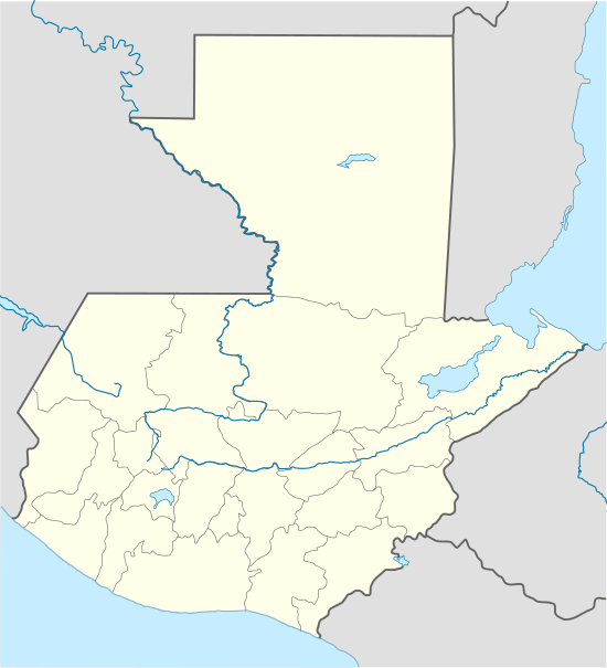 MGML Location of the airport in Guatemala | |||||||||||
| Runways | |||||||||||
| |||||||||||
Malacatán Airport (ICAO: MGML ) is an airstrip serving the town of Malacatán in Guatemala. It is in the countryside 2 kilometres (1.2 mi) west of the town and has no facilities.
See also
References
- ↑ Google Maps - Malacatán
- ↑ Airport information for MGML at Great Circle Mapper.
- Google Earth
External links
This article is issued from Wikipedia - version of the 12/5/2016. The text is available under the Creative Commons Attribution/Share Alike but additional terms may apply for the media files.