Magong
| Magong 馬公市 | ||
|---|---|---|
| County-controlled city | ||
|
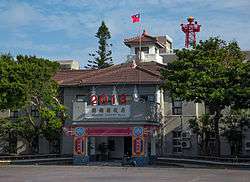
View of Siying Rainbow Bridge and Penghu area in Magong | ||
| ||
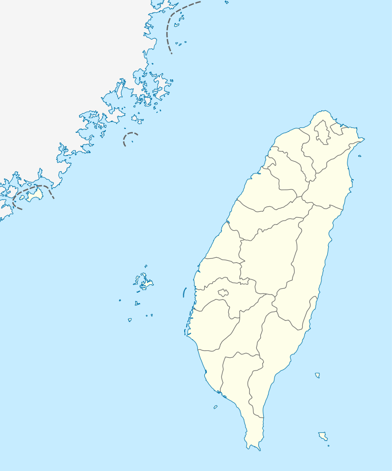 Magong Location in the Republic of China | ||
| Coordinates: 23°34′N 119°35′E / 23.567°N 119.583°ECoordinates: 23°34′N 119°35′E / 23.567°N 119.583°E | ||
| Country | Republic of China (Taiwan) | |
| Province | Taiwan Province (streamlined) | |
| County | Penghu County | |
| Area | ||
| • Total | 33.9918 km2 (13.1243 sq mi) | |
| Population (December 2014) | ||
| • Total | 60,335 | |
| • Density | 1,800/km2 (4,600/sq mi) | |
| Website | www.mkcity.gov.tw | |


| Magong | |||||||||||||||
| Traditional Chinese | 馬公市 | ||||||||||||||
|---|---|---|---|---|---|---|---|---|---|---|---|---|---|---|---|
| Simplified Chinese | 马公市 | ||||||||||||||
| |||||||||||||||
Magong City (Chinese: 馬公市) is the county seat of Penghu County, Republic of China (Taiwan). Magong is on the western part of the main Penghu Island.
Name
The earliest temple in the country to the goddess Matsu is found on Magong. Magong is therefore also known as Magong'ao (馬宮澳 or originally, Chinese: 媽宮澳; Pe̍h-ōe-jī: Má-keng-ù; literally: "Matsu Palace Seaport"). The first character of the name was changed to "horse" (馬) in 1920 under Japanese rule. Known in Japanese as Makō (see Mako Guard District), the area was a major base for the Imperial Japanese Navy and embarkation point for the invasion of the Philippines.
History
Qing Dynasty
The erection of the city began around 1887, during the reign of the Guangxu Emperor under Qing Dynasty rule.
Japanese rule
By 1920, Magong was officially Makō Town (馬公街), of Makō Subprefecture, Hōko Prefecture.
Republic of China
On 25 December 1981, Makung was upgraded from an urban township to be a county-controlled city. In January 2009, Taiwan adopted the usage of Hanyu Pinyin to replace Tongyong Pinyin, hence the use of "Magong".[1]
Administration


Magong City contains 33 municipal villages (里 li):
- (Romanizations are in Hanyu Pinyin)
- Fuxing (復興里)
- Chang'an (長安里)
- Zhongyang (中央里)
- Qiming (啟明里)
- Chongqing (重慶里)
- Zhongxing (中興里)
- Guangfu (光復里)
- Guangming (光明里)
- Guangrong (光榮里)
- Chaoyang (朝陽里)
- Yangming (陽明里)
- Chongguang (重光里)
- Xiwei (西衛里)
- Xiwen (西文里)
- Dongwen (東文里)
- Anshan (案山里)
- Guanghua (光華里)
- Qianliao (前寮里)
- Shiquan (石泉里)
- Caiyuan (菜園里)
- Dongwei (東衛里)
- Anzhe (安宅里)
- Xingren (興仁里)
- Wukan (烏崁里)
- Tiexian (鐵線里)
- Suogang (鎖港里)
- Shanshui (山水里)
- Wude (五德里)
- Jing'an (井垵里)
- Shili (時里奇)
- Fenggui (風櫃里)
- Hujing (虎井里)
- Tongpan (桶盤里)
Government institutions
Education
Climate
| Climate data for Magong City(1981 to 2010) | |||||||||||||
|---|---|---|---|---|---|---|---|---|---|---|---|---|---|
| Month | Jan | Feb | Mar | Apr | May | Jun | Jul | Aug | Sep | Oct | Nov | Dec | Year |
| Record high °C (°F) | 25.5 (77.9) |
27.8 (82) |
30.1 (86.2) |
35.3 (95.5) |
38.9 (102) |
39.5 (103.1) |
40.0 (104) |
39.8 (103.6) |
39.2 (102.6) |
37.6 (99.7) |
34.4 (93.9) |
30.0 (86) |
40 (104) |
| Average high °C (°F) | 19.3 (66.7) |
19.6 (67.3) |
22.4 (72.3) |
26.0 (78.8) |
28.8 (83.8) |
30.6 (87.1) |
32.0 (89.6) |
31.8 (89.2) |
30.7 (87.3) |
28.1 (82.6) |
24.8 (76.6) |
21.1 (70) |
26.27 (79.28) |
| Average low °C (°F) | 15.4 (59.7) |
15.4 (59.7) |
17.4 (63.3) |
20.9 (69.6) |
23.7 (74.7) |
25.6 (78.1) |
26.6 (79.9) |
26.5 (79.7) |
25.9 (78.6) |
23.9 (75) |
20.9 (69.6) |
17.4 (63.3) |
21.63 (70.93) |
| Record low °C (°F) | 4.4 (39.9) |
5.3 (41.5) |
8.2 (46.8) |
11.1 (52) |
15.4 (59.7) |
20.3 (68.5) |
22.7 (72.9) |
22.6 (72.7) |
21.8 (71.2) |
19.6 (67.3) |
14.3 (57.7) |
7.1 (44.8) |
4.4 (39.9) |
| Average precipitation mm (inches) | 21.9 (0.862) |
50.2 (1.976) |
52.9 (2.083) |
92.4 (3.638) |
123.2 (4.85) |
164.1 (6.461) |
131.6 (5.181) |
170.8 (6.724) |
74.2 (2.921) |
26.1 (1.028) |
20.1 (0.791) |
23.5 (0.925) |
951.0 (37.441) |
| Average relative humidity (%) | 80.5 | 82.4 | 83.1 | 83.4 | 84.5 | 86.6 | 85.1 | 85.5 | 81.2 | 78.1 | 78.0 | 78.7 | 82.3 |
| Mean monthly sunshine hours | 112.9 | 96.7 | 124.7 | 157.2 | 172.5 | 199.6 | 260.8 | 240.1 | 225.3 | 183.9 | 131.1 | 117.3 | 2,022.1 |
| Source: 中央氣象局 | |||||||||||||
Tourist attractions
- Central Street
- Chang Yu-sheng Memorial Museum
- First Guesthouse
- Ocean Resources Museum
- Penghu Living Museum
Transportation
It contains the domestic Magong Airport and Magong Harbor.
Notable natives
- Chang Yu-sheng, former singer, composer and producer
See also
References
External links
| Wikimedia Commons has media related to Magong City, Penghu County. |
- Magong City Office, Penghu County (English)
- Magong Airport WebSite (English)
| Kaohsiung | 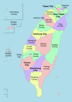 | |
|---|---|---|
| Kinmen | ||
| Lienchiang1 | ||
| Penghu | ||
| Pingtung | ||
| Taitung | ||
| Yilan | ||
1 Lienchiang County commonly known as Matsu. 2Diaoyutai Islands are controlled by Japan, (called Senkaku Islands). 3Seat of the outlying islands' counties | ||