Magerrain
| Magerrain | |
|---|---|
 Magerrain from east | |
| Highest point | |
| Elevation | 2,524 m (8,281 ft) |
| Prominence | 357 m (1,171 ft) [1] |
| Parent peak | Tödi |
| Coordinates | 47°01′59.4″N 9°13′11.5″E / 47.033167°N 9.219861°ECoordinates: 47°01′59.4″N 9°13′11.5″E / 47.033167°N 9.219861°E |
| Geography | |
 Magerrain Location in Switzerland | |
| Location | Glarus/St. Gallen, Switzerland |
| Parent range | Glarus Alps |
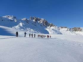
The Magerrain is a mountain of the Glarus Alps, located on the border between the cantons of Glarus and St. Gallen in Eastern Switzerland. Reaching an elevation of 2,524 metres above sea level, the Magerrain is the highest summit of the range north of the Walabützer Furggle (2,167 m) and the Risitenpass (2,189 m).
The closest locality is Engi on the south side.
References
External links
This article is issued from Wikipedia - version of the 5/9/2016. The text is available under the Creative Commons Attribution/Share Alike but additional terms may apply for the media files.