Machulishi
| Mačuliščy / Mačuliši Мачулішчы / Мачулищи | |
|---|---|
|
Orthodox church of St. Pantaleon | |
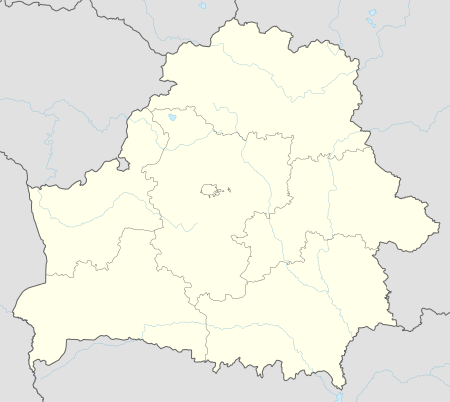 Mačuliščy / Mačuliši Мачулішчы / Мачулищи Location of Machulishi in Belarus | |
| Coordinates: 53°46′53″N 27°35′45″E / 53.78139°N 27.59583°ECoordinates: 53°46′53″N 27°35′45″E / 53.78139°N 27.59583°E | |
| Country Voblast Raion |
|
| Founded | 1590 |
| Elevation | 228 m (748 ft) |
| Population (2009) | |
| • Total | 7,300 |
| Time zone | EET (UTC+2) |
| • Summer (DST) | EEST (UTC+3) |
| Postal code | 223012 |
| License plate | 5 |
| Website | Official website |

Machulishi (Belarusian: Мачулішчы, Machulishchy - Russian: Мачулищи) is a municipality and urban settlement in Belarus, in the Minsk Region, and is part of the Minsk Raion. Its population, as of 2010, was of 7,300.[1]
History
The town was first mentioned in 1590. In 1997 it received the status of "urban-type settlement" (Городской посёлок).
Geography
Situated in southern suburb of Minsk, Machulishi is part of its urban area and one of its main towns also with Zaslawye and Fanipol. It is served by a railway station on the Minsk-Babruysk-Gomel and by the M1 highway.
Gallery
 Railway station
 Multi-storeyed buildings
 Memorial obelisk devoted to World War II veterans
References
- ↑ (Russian) 2010 statistics of Belarus, rar format (Belstat)
External links
![]() Media related to Machulishi at Wikimedia Commons
Media related to Machulishi at Wikimedia Commons
- (Russian) Machulishi official website
|  | |
This article is issued from Wikipedia - version of the 11/30/2015. The text is available under the Creative Commons Attribution/Share Alike but additional terms may apply for the media files.