Macenta Airport
| Macenta Airport | |||||||||||
|---|---|---|---|---|---|---|---|---|---|---|---|
| IATA: MCA – ICAO: GUMA | |||||||||||
| Summary | |||||||||||
| Airport type | Public | ||||||||||
| Serves | Macenta | ||||||||||
| Elevation AMSL | 3,396 ft / 1,035 m | ||||||||||
| Coordinates | 8°28′55″N 9°31′30″W / 8.48194°N 9.52500°WCoordinates: 8°28′55″N 9°31′30″W / 8.48194°N 9.52500°W | ||||||||||
| Map | |||||||||||
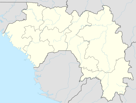 MCA Location of the airport in Guinea | |||||||||||
| Runways | |||||||||||
| |||||||||||
|
Source: Google Maps[1] | |||||||||||
Macenta Airport (IATA: MCA, ICAO: GUMA) is an airport serving Macenta in Guinea. The airport is 9 kilometres (5.6 mi) southwest of the city.
See also
 Aviation portal
References
- OurAirports - Guinea
- Great Circle Mapper - Macenta
- Macenta
- Google Earth
External links
This article is issued from Wikipedia - version of the 12/4/2016. The text is available under the Creative Commons Attribution/Share Alike but additional terms may apply for the media files.