Lunga Lunga
| Lunga Lunga | |
|---|---|
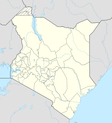 Lunga Lunga Location of Lunga Lunga | |
| Coordinates: 04°33′18″S 39°07′23″E / 4.55500°S 39.12306°ECoordinates: 04°33′18″S 39°07′23″E / 4.55500°S 39.12306°E | |
| Country | Kenya |
| County | Kwale County |
| Time zone | EAT (UTC+3) |
Lunga Lunga is a settlement in Kenya's Kwale County.
Location
Lunga Lunga is located in extreme southeastern Kenya, at the international border with the Republic of Tanzania. This location lies approximately 102 kilometres (63 mi), by road, south of the port city of Mombasa, the nearest large city.[1] The coordinates of Lunga Lunga are:4°33'18.0"S, 39°07'23.0"E (Latitude:-4.5550; 39.1231).[2]
International border
The town lies at the International border between Tanzania to the south and Kenya to the north. In keeping with East African Community recommendations and guidelines, the Lunga Lunga border crossing is one of those selected to convert to a one-stop crossing. Infrastructure is being modified so that both humans and cargo can be jointly cleared by both Kenyan and Tanzanian authorities at one physical location, in real time.[3][4]
See also
References
- ↑ "Road Distance Between Mombasa And Lunga Lunga With Map". Globefeed.com. Retrieved 27 January 2015.
- ↑ Google, . "Location of Lunga Lunga At Google Maps". Google Maps. Retrieved 27 January 2015.
- ↑ Kamau, Scola (5 April 2014). "Kenya On Track To Complete Five One-Stop Border Posts". The EastAfrican (Nairobi). Retrieved 27 January 2015.
- ↑ Masinde, Joshua (30 August 2015). "Kenya Set To Complete Six One-Stop Border Posts". The EastAfrican (Nairobi). Retrieved 27 January 2015.