Luliang Air Base
| Luliang Air Base | |||||||||||
|---|---|---|---|---|---|---|---|---|---|---|---|
| IATA: none – ICAO: none | |||||||||||
| Summary | |||||||||||
| Airport type | Military | ||||||||||
| Location | Luliang County, Yunnan, China | ||||||||||
| Coordinates | 24°59′17″N 103°38′33″E / 24.98806°N 103.64250°ECoordinates: 24°59′17″N 103°38′33″E / 24.98806°N 103.64250°E | ||||||||||
| Map | |||||||||||
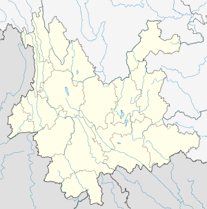 Luliang Location of airport in Yunnan | |||||||||||
| Runways | |||||||||||
| |||||||||||
Luliang Air Base is a People's Liberation Army Air Force Base, located about 5 kilometers southwest of Luliang in Yunnan Province, China.
History
During World War II, the base was used by the United States Army Air Forces Fourteenth Air Force as part of the China Defensive Campaign (1942–1945). The airfield was the primary home of the 23d Fighter Group (Flying Tigers), and its command and control organization, the 68th Composite Wing beginning in September 1944 until the end of the war in 1945. Secondary USAAF units assigned to the base were P-38 Lightning reconnaissance aircraft that flew photo-recon missions over Japanese-held territory; and C-47 Skytrain transports which moved personnel and materiel in and out of the base, along with evacuating casualties to rear areas. The Americans closed their facilities at Luliang after the war ended in October 1945.
See also
References
![]() This article incorporates public domain material from the Air Force Historical Research Agency website http://www.afhra.af.mil/.
This article incorporates public domain material from the Air Force Historical Research Agency website http://www.afhra.af.mil/.
- Maurer, Maurer. Air Force Combat Units Of World War II. Maxwell Air Force Base, Alabama: Office of Air Force History, 1983. ISBN 0-89201-092-4
- Airfields & Seaplane Anchorages China
- USFHRA Document Search - Luliang
External links
Previously: 1st American Volunteer Group (AVG) "Flying Tigers" (Dec 1941-July 1942) China Air Task Force (July 1942-Mar 1943) | |||||||||||||||||||||||||||||||||||
| Airfields |
| .jpg) | |||||||||||||||||||||||||||||||||
| Units |
| ||||||||||||||||||||||||||||||||||