Luhanske, Bakhmut Raion
| Luhanske Луганське | |
|---|---|
| Urban-type settlement | |
|
Church of the Intercession (1898) in Luhanske | |
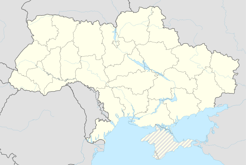 Luhanske Location of Luhanske within Ukraine | |
| Coordinates: UA 48°26′29″N 38°15′14″E / 48.44139°N 38.25389°E | |
| Country | Ukraine |
| Oblast | Donetsk |
| Raion | Bakhmut |
| Founded | 1701 |
| Incorporated | 1938 |
| Area | |
| • Total | 1,433 km2 (553 sq mi) |
| Population (1 January 2016)[1] | |
| • Total | 2,222 |
| • Density | 1,697/km2 (4,400/sq mi) |
| Postal code | 84580-84581 |
| Area code(s) | +380 6274 |

Luhanske (Ukrainian: Луганське; Russian: Луганское, Luganskoye) is an urban-type settlement in Bakhmut Raion, a part of Donetsk Oblast in Ukraine. It is located on the M04 highway, about 30 kilometres (19 mi) from Bakhmut. The population of Luhanske was 2,222 (2016 est.)[2].
References
- ↑ The State Statistics Committee of Ukraine. The population Ukraine on January 1, 2011, Kyiv-2011 (doc)
- ↑ "Чисельність наявного населення України (Actual population of Ukraine)" (PDF) (in Ukrainian). State Statistics Service of Ukraine. Retrieved 19 July 2016.
This article is issued from Wikipedia - version of the 7/20/2016. The text is available under the Creative Commons Attribution/Share Alike but additional terms may apply for the media files.