Lover's Leap Bridge
| Lover's Leap Bridge | |
|---|---|
.jpg) Lover's Leap Lenticular Bridge | |
| Coordinates | 41°32′39″N 73°24′25″W / 41.54417°N 73.40694°WCoordinates: 41°32′39″N 73°24′25″W / 41.54417°N 73.40694°W |
| Carries | Pedestrians |
| Crosses | Housatonic River |
| Locale | New Milford, Connecticut |
| Maintained by | Connecticut Department of Environmental Protection |
| Characteristics | |
| Design | lenticular through truss |
| Total length | 173 feet (53 m) |
| History | |
| Opened | 1895 |
| Statistics | |
| Toll | None |
|
Lover's Leap Bridge | |
  | |
| Location | New Milford, Connecticut |
| Area | 1 acre (0.4 ha) |
| Built | 1895 |
| Architect | Berlin Iron Bridge Co.; Douglas & Jarvis |
| NRHP Reference # | 76001982[1] |
| Added to NRHP | May 13, 1976 |
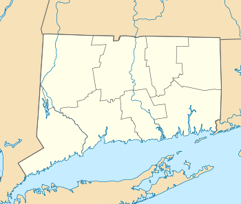
The Lover's Leap Bridge is a wrought-iron lenticular truss bridge over the Housatonic River located in Lovers Leap State Park in New Milford, Connecticut. It is a single span, 173 feet (53 m) in length, resting on coursed stone abutments. It was built in 1895 by the Berlin Iron Bridge Company, and originally carried Pumpkin Hill Road. This was one of the last bridges manufactured by the company.[2] Prior to 1977, the bridge was used by both vehicles and pedestrians but is now closed to vehicular traffic after a newer crossing just north of the bridge was constructed.
The bridge was listed on the National Register of Historic Places in 1976.[1]
See also
- National Register of Historic Places listings in Litchfield County, Connecticut
- List of bridges documented by the Historic American Engineering Record in Connecticut
- List of bridges on the National Register of Historic Places in Connecticut
References
- 1 2 National Park Service (2009-03-13). "National Register Information System". National Register of Historic Places. National Park Service.
- ↑ "NRHP nomination for Lover's Leap Bridge" (PDF). National Park Service. Retrieved 2014-12-24.
External links
| Wikimedia Commons has media related to Lover's Leap Bridge. |
- Connecticut Historic Highway Bridges
- Historic American Engineering Record (HAER) No. CT-17, "Lover's Leap Lenticular Bridge, Spanning Housatonic River on Pumpkin Hill Road, New Milford, Litchfield County, CT", 11 photos, 2 data pages, 1 photo caption page
This article is issued from Wikipedia - version of the 10/22/2016. The text is available under the Creative Commons Attribution/Share Alike but additional terms may apply for the media files.