Lotofaga
| Lotofaga | |
|---|---|
| Village & Electoral Constituency | |
|
Fuipisia Falls in Lotofaga | |
 Lotofaga | |
| Coordinates: 14°2′34″S 171°34′11″W / 14.04278°S 171.56972°WCoordinates: 14°2′34″S 171°34′11″W / 14.04278°S 171.56972°W | |
| Country |
|
| District | Atua |
| Population (2006) | |
| • Total | 1,865 Constituency |
| Time zone | -11 |
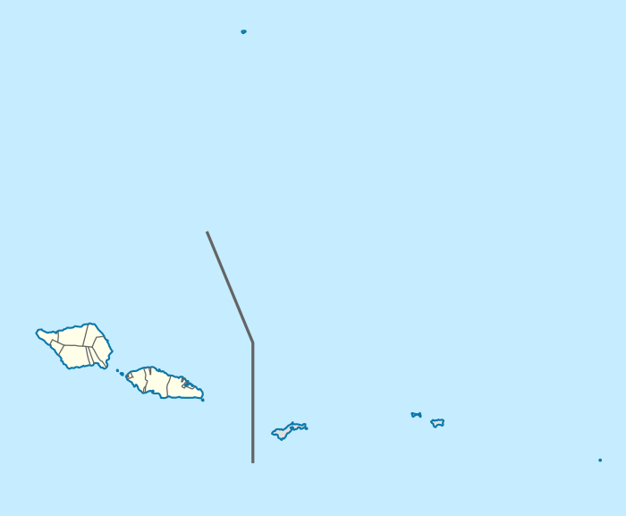
Lotofaga is a village on the south coast of Upolu island in Samoa.[1] Lotofaga is also the name of the larger Lotofaga Electoral Constituency (Faipule District) which includes Lotofaga village and two other villages, Vavau and Matatufu.
The villages and Lotofaga Electoral Constituency all come within the larger political district of Atua.
The population of Lotofaga village is 1,089 (2006 Census). The population of Lotofaga Electoral Constituency is 1,865 (2006 Census).[2]
Politics

The first Prime Minister of Samoa, Fiame Mata'afa Faumuina Mulinu’u II (August 5, 1921 – May 20, 1975), a paramount chief, entered politics at the 1957 general election from the Lotofaga Electoral Constituency.[3] The high chief title Fiame is from Lotofaga. His wife was Laulu Fetauimalemau Mata'afa, who was bestowed the chief title of Laulu, also from Lotofaga. At her husband's death in 1975, Laulu Featauimalemau Mata'afa entered politics, winning the Lotofaga seat in the same year and becoming only the second woman in Samoa to become a Member of Parliament. Their daughter, Fiame Naomi Mata'afa, a high chief with the Fiame chief title once held by her father, has been the Member of Parliament for Lotofaga constituency for many years and is a senior member of Cabinet in the Legislative Assembly of Samoa.
Archaeology
During the 1960s, archaeologists investigating the early settlement of the Pacific Islands uncovered a prehistoric settlement inland from Lotofaga in an area marked Tafagamanu Sand.[3] The date obtained from the cultural deposit was 735 plus or minus 85 years BP. Tafagamanu Sand is a geological name given to beach and beach ridge deposits of carbonate sand occurring up to 2 m or more above sea level.[3]
References
- ↑ "Samoa Territorial Constituencies Act 1963". Pacific Islands Legal Information Institute. Retrieved 18 December 2009.
- ↑ "Population and Housing Census Report 2006" (PDF). Samoa Bureau of Statistics. July 2008. Retrieved 18 December 2009.
- 1 2 3 The Pacific Islands: An Encyclopedia. Edited by Brij V. Lal and Kate Fortune, p. 285.

