Lopud
 View from Sutvrač Fort | |
 | |
| Geography | |
|---|---|
| Location | Adriatic sea |
| Coordinates | Coordinates: 42°41′N 17°57′E / 42.683°N 17.950°E |
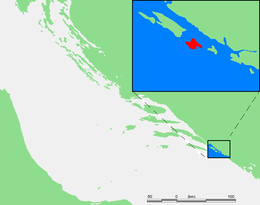
| Archipelago | Elaphiti Islands |
| Area | 4.5 km2 (1.7 sq mi) |
| Highest elevation | 214 m (702 ft) |
| Highest point | Polečica |
| Administration | |
|
Croatia | |
| County | Dubrovnik-Neretva |
| Demographics | |
| Population | 220 |
| Pop. density | 49 /km2 (127 /sq mi) |
Lopud (pronounced [lɔ̌pud]) is a small island 4.63 square kilometres (1.79 square miles)[1] off the coast of Dalmatia, southern Croatia. Lopud is conomically the most developed of the Elaphiti Islands, and can be reached by boat from Dubrovnik, Trsteno, Orasac and Zaton. The island is famous for its sandy beaches,[2] in particular the bay of Šunj.Lopud is the second largest island of the Elaphiti islands,between Kolocep and Sipan. It is famous as the "island in the middle" (Insula Media, or Mezzo). Area: 4.63 square kilometres (1.79 square miles) The highest peak: Polačica 216 metres (709 feet) above sea level Coastline: 11.5 km (7 mi) (of which 1.2 km (1 mi) sandy)
History
On 22 July 1813, marines and seamen from HMS Saracen and HMS Weazel captured the French garrison on the island, which consisted of six guns and 59 men.[3]
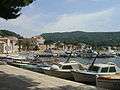 The harbour in Lopud
 Lopud beach scene
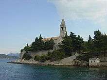 Franciscan monastery
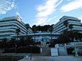 Hotel Lafodia (opened 1968)
 Šunj Beach
 St. John's Church on Belvedere
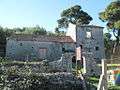 Derelict house
 Small church
 Spanish fort Sutvrač
 View on Lopud forests from Sutvrač
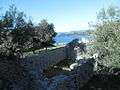 Interior of Sutvrač Fort
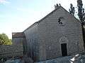 Lady of Šunj Church
 Interior of small church beside Lady of Šunj Church
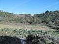 Lopud landscape
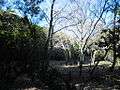 Above Šunj Beach
 Along the footpath
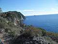 Lopud other side of coast
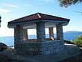 Small belvedere
 One of houses in town
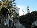 Church in town
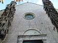 Doors of church in town
 Former hotel Grand
 Lopud Park
 Image from park
 Town coast
References
- ↑ Duplančić Leder, Tea; Ujević, Tin; Čala, Mendi (June 2004). "Coastline lengths and areas of islands in the Croatian part of the Adriatic Sea determined from the topographic maps at the scale of 1 : 25 000" (PDF). Geoadria. Zadar. 9 (1): 5–32. Retrieved 2011-01-21.
- ↑ Frommer's Croatia by Karen Torme Olson & Sanja Bazulic Olson
- ↑ The London Gazette: no. 16888. p. 858. 23 April 1814.