Long Marston Airfield
| Long Marston Airfield | |||||||||||||||||||||||
|---|---|---|---|---|---|---|---|---|---|---|---|---|---|---|---|---|---|---|---|---|---|---|---|
| IATA: none – ICAO: EGBL | |||||||||||||||||||||||
| Summary | |||||||||||||||||||||||
| Airport type | Civilian | ||||||||||||||||||||||
| Location | Long Marston | ||||||||||||||||||||||
| Elevation AMSL | 155 ft / 47 m | ||||||||||||||||||||||
| Coordinates | 52°08′15″N 001°45′09″W / 52.13750°N 1.75250°WCoordinates: 52°08′15″N 001°45′09″W / 52.13750°N 1.75250°W | ||||||||||||||||||||||
| Map | |||||||||||||||||||||||
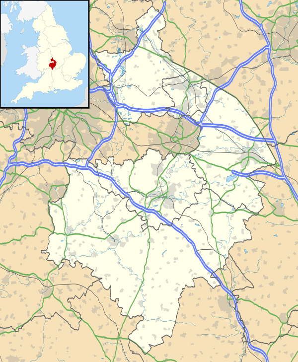 Long Marston Location in Warwickshire | |||||||||||||||||||||||
| Runways | |||||||||||||||||||||||
| |||||||||||||||||||||||
Long Marston Airfield was a Royal Air Force base between 1941 and 1954, situated approximately 3 miles (4.8 km) south west of Stratford-upon-Avon near the village of Long Marston in Warwickshire.
It is now managed by Anthony Hodges, and is home to:
- Second World War airfield buildings
- Unusual F.C. Construction 'Mushroom' pillboxes
- Microflights Flying School
- Avon Microlight Club
- Freedom Sports Aviation - club and flying school; Chief Flying Instructor Simon Baker)
- MotorGlide - gliding club specialising in motorgliders
- the Shakespeare County Raceway dragstrip
- the Long Marston Clay Shooting Ground.
It is also well known as a venue for summertime music festivals, including Godskitchen Global Gathering, the Bulldog Bash, and the Phoenix Festival.
Runways
Main runway, hard surface: 04/22 (of which the SW third is used as a drag strip)
Grass strip: 02/20
Disused runway, hard surface: 11/29 (buildings, Sunday market, etc.)
Disused runway, hard surface: 16/34 (used for aircraft movements to hangars, driver training, etc.)
History
The airfield was previously RAF Long Marston a Royal Air Force station used for training during the Second World War. The station closed during 1954.[1]
Future
On 26 November 2015, a Stratford District Council planning committee approved plans by CALA Homes to build 400 houses on the site, part of their proposed development scheme which aims to eventually feature 3,500 houses.[2] As a consequence, the remaining airfield buildings will be demolished, the runways and drag strip removed and the businesses will be forced to close or relocate.
References
Citations
- ↑ "RAF Long Marston". Airfields of Britain Conservation Trust. Retrieved 27 April 2012.
- ↑ "Green light given to plans for 400 homes on Long Marston Airfield". Stratford Observer. Retrieved 27 November 2015.