Liyun Ikiña
| Liyun Ikiña | |
|---|---|
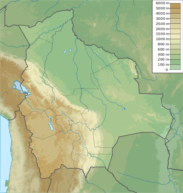
 Liyun Ikiña Location in Bolivia | |
| Highest point | |
| Elevation | 4,748 m (15,577 ft) [1] |
| Coordinates | 18°16′20″S 68°50′35″W / 18.27222°S 68.84306°WCoordinates: 18°16′20″S 68°50′35″W / 18.27222°S 68.84306°W |
| Geography | |
| Location |
Bolivia Oruro Department, Sajama Province, Turco Municipality |
| Parent range | Andes, Cordillera Occidental |
Liyun Ikiña or León Ikiña (Aymara liyun lion (a borrowing from Spanish león, here referring to the cougar), ikiña bed, sleeping place,[2] "sleeping place of the lion (cougar)", also spelled Leon Iquina, León Iquiña) is a dome[3] in the Cordillera Occidental of Bolivia north of the summit of the Chullkani volcano. It is located in the Oruro Department, Sajama Province, Turco Municipality.[4] Its peak reaches a height of 4,748 m (15,577 ft). South of Liyun Ikiña there is a small lake named Q'illu Quta ("yellow lake", also spelled Khellu Kkota). The stream which originates here is a left tributary of the Sajama River.
References
- ↑ Bolivian IGM map 1:50,000 Estancia Laguna 5839-III
- ↑ Radio San Gabriel, "Instituto Radiofonico de Promoción Aymara" (IRPA) 1993, Republicado por Instituto de las Lenguas y Literaturas Andinas-Amazónicas (ILLLA-A) 2011, Transcripción del Vocabulario de la Lengua Aymara, P. Ludovico Bertonio 1612 (Spanish-Aymara-Aymara-Spanish dictionary)
- ↑ Gabriela Vargas-Mattos, Mauro César Geraldes, Ramiro Matos Salinas, Reconstrucción geológica del volcán Chullcani (mioceno superior a plioceno superior): Consideraciónes generales sobre geoquímica y edad de las fases volcánicas, Andes Centrales de Bolivia, Revista Brasileira de Geociências, 12/2006
- ↑ "Turco". Retrieved January 22, 2016.
This article is issued from Wikipedia - version of the 1/22/2016. The text is available under the Creative Commons Attribution/Share Alike but additional terms may apply for the media files.
